SxS / UTV · Nevada
SxS / UTV in Nevada
15 parks across Nevada. Ratings, hours, contact details and a map for each, all in one place.
Public land open to side-by-sides
7,958 mi
National forest + BLM
Rated 4.5+ on Google
12 of 15
Cities
10
Most in Las Vegas (2), Nellis Air Force Base (2)
Best season
Oct to May
At a glance
Highest rated on Google
Ranked by Google rating, then by number of reviews, across the 10 of 15 parks in Nevada with 10 or more Google reviews. A blank cell means we do not have that detail yet.
| Park | City | Rating |
|---|---|---|
| Las Vegas Elite Offroad | Las Vegas | 5.01,801 Google reviews |
| Logandale Trail System | 4.9225 Google reviews | |
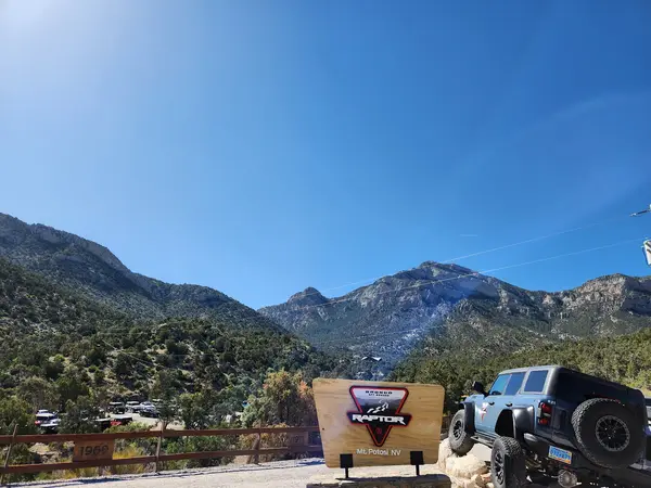
| Bronco Off-Roadeo Nevada | Las Vegas | 4.9150 Google reviews |
| Wilson Canyon Trail | Yerington | 4.866 Google reviews |
| Johnson Lane OHV Area | Minden | 4.791 Google reviews |
| Jumbo Grade Trail OHV Area | New Washoe City | 4.789 Google reviews |
| Nellis Dunes OHV Area | Nellis Air Force Base | 4.776 Google reviews |
| Sloan Canyon OHV Area | Henderson | 4.6991 Google reviews |
Operators
SxS / UTV operators
Loads the full map of every listing on this page. We leave it off by default so the page opens fast on mobile data.
Public land
Where side-by-sides can ride on public land in Nevada
- National forest roads and trails open to side-by-sides over 50 in wide
- 4,536 mi
- National forest miles open to side-by-sides over 50 in wide all year
- 4,477 mi
- BLM routes open to side-by-sides over 50 in wide
- 3,422 mi
National forests with the most miles
- Humboldt-Toiyabe National Forest4,398 mi
- Inyo National Forest118 mi
- Lake Tahoe Basin Management Unit20 mi
- Dixie National Forest0 mi
BLM field offices with the most miles
- Las Vegas Field Office1,429 mi
- Bristlecone Field Office930 mi
- Black Rock Field Office655 mi
- Caliente Field Office356 mi
- Humboldt River Field Office32 mi
Some national forests are missing from the Forest Service file, so read the national forest miles as a floor. Seasons and width limits vary by route.
Source: USDA Forest Service Motor Vehicle Use Maps. Always check the official MVUM and posted signs; this map is not a legal document.
Source: Bureau of Land Management. Not a legal document or land survey. Check with the BLM field office and posted signs before you ride.
Resources
More to explore in SxS / UTV
Hand-picked videos and free guides from the community to help you plan your next trip.
Videos worth watching
Hand-picked clips, sorted by what you do.
Spring SXS + ATV Beat Down - UTV + ATV Trail Riding Comparison - Polaris vs Can-Am
AdrenalineJunkieProd
Hill Climb, Mud Pits, Trails! Extreme UTV Off Road!
Full Throttle Off Road
Top 5 UTV Must Have Trail and Off-Road Accessories
Rocky Mountain ATV MC
What You NEED to Bring Riding With You - SXS/UTV Off-Roading Gear Box Overview - Essential Tools
AdrenalineJunkieProd
8 Must Have Trail Essentials For A UTV. Do NOT Go Off-roading Without These
AGM Products
WindRock Park Review, TN - Trail 32 and Beyond - explore trails at WindRock ATV Park - Review
The Beaten Trail
Guides worth reading
Trip briefs, prep checklists, and how-tos. Free to read.

UTV Recovery Gear Checklist: Essential Equipment for RZR, Talon & SxS Riders
May 2026

Side-by-Side vs Jeep: Which Vehicle Is Right for Your First OHV Trip
May 2026

Best OHV Parks in Texas: Hill Country, East Texas & Granite Off-Road Riding
May 2026

Best OHV Parks in Colorado by Difficulty
May 2026
Free tools






