Colorado ranks among the nation's most accessible yet challenging off-road destinations, with federal and state-managed lands offering everything from beginner-friendly staging areas to technical alpine passes that demand serious machine capability and rider skill. The state's OHV scene thrives on a simple, rider-friendly setup: a single statewide Colorado Parks and Wildlife (CPW) OHV registration or permit sticker, honored on designated trails across Bureau of Land Management and U.S. Forest Service land, funds the trail crews that keep those networks maintained. There's no per-area application to wade through, you buy one sticker and ride the designated system. What Colorado does enforce hard is seasonal access: high-altitude passes open and close with the snow, so the planning that matters here is timing, not paperwork.
The vertical climb (from 5,000-foot valley floors to 13,000-foot passes), means you're not just changing scenery; you're navigating altitude effects, weather volatility, and dramatically different trail composition in a single day's ride. Here's the state's terrain sorted by what your rig and experience can handle:
| Area | Difficulty | Elevation band | Typical season |
|---|---|---|---|
| Flat Top / Peach Valley (Montrose) | Beginner | ~5,500–6,500 ft | Most of the year |
| Rampart Range (near Denver) | Beginner–intermediate | ~7,000–9,000 ft | Late spring–fall |
| Imogene Pass, Yankee Boy Basin (Ouray) | Intermediate | 9,000–13,114 ft | July–September |
| Engineer / Cinnamon Pass loops (Lake City) | Intermediate | 9,000–12,800 ft | July–September |
| Poughkeepsie Gulch, Black Bear Pass (Silverton–Telluride) | Expert | 10,000–12,840 ft | Late July–September |
Beginner-Friendly Parks: Sand and Gentle Terrain
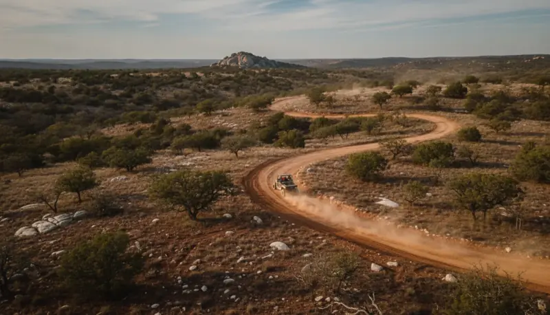
For riders and drivers new to Colorado off-roading, the BLM's Flat Top and Peach Valley OHV areas outside Montrose offer low-stress terrain that builds confidence without requiring specialized recovery gear or expensive modifications. Flat Top has roughly 75 miles of marked routes, and the adjacent Peach Valley staging area opens onto rolling adobe-and-sandstone terrain where beginners can practice throttle control, line reading, and navigation in a forgiving environment. The mixed dirt-and-sand composition means damage to undercarriage and tires is rare; when things go sideways, you're usually bogged in soft ground, not wrapped around a boulder.
For Front Range riders, the Rampart Range Recreation Area in the Pike–San Isabel National Forest, about 35 miles southwest of Denver, offers nearly 200 miles of designated motorized trails spanning everything from wide, smooth ATV-friendly routes to expert single-track, so newcomers can find a manageable loop and step up as skills grow. Across all of these, your CPW OHV sticker is the only paperwork you need (spark arrestors are required in the national forest). Lower-elevation BLM areas like Flat Top and Peach Valley stay rideable much of the year because they get little snow, while Rampart's mid-elevation trails are typically best late spring through fall. Bring basic recovery gear, a tow strap and shovel, but don't overthink it; on this terrain your main worry is soft ground, which usually resolves with lower tire pressure and patience.
Intermediate Terrain: Technical Trails in the 9,000–13,000 Foot Range
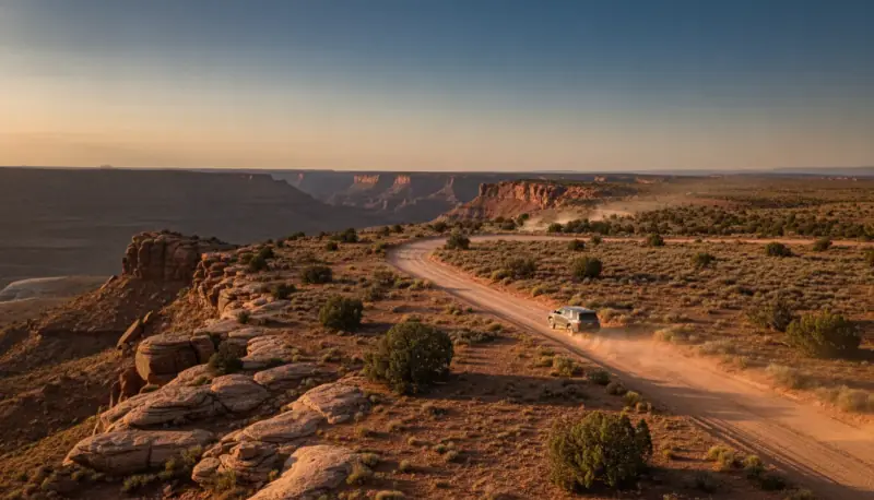
The mining-country routes around Ouray and Lake City sit in Colorado's sweet spot for intermediate riders, demanding enough to test vehicle tuning and driver skill without requiring expedition logistics or high-end recovery gear. Imogene Pass, the historic 13,114-foot crossing between Ouray and Telluride, starts at moderate difficulty but transitions to rocky, rutted terrain as elevation climbs. A properly maintained UTV or 4x4 with all-terrain tires handles most of it, though skid protection becomes essential because the rocks here hang every underbody component.
Yankee Boy Basin near Ouray offers a more concentrated challenge: tight shelf sections, boulder fields, and stream crossings on an out-and-back that climbs through old mining country toward a high alpine basin around 12,400 feet. It's a dead-end basin, not a through-pass: you drive up for the wildflowers, waterfalls, and Mount Sneffels views, then return the way you came (the connector toward Imogene branches off lower down and is a separate, harder route). Expect narrow shelf road and be prepared to yield to oncoming traffic. The basin generally opens July through September; earlier in the season the access road can be impassable from snowmelt and washout damage.
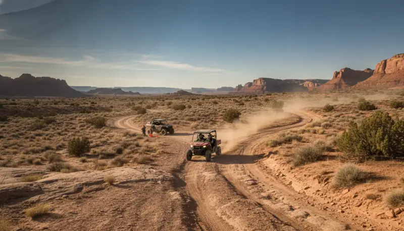
Engineer Pass and Cinnamon Pass loops near Lake City deliver technical trail driving without the fame-driven crowds of Moab. These routes reward smooth throttle input and precision line choice; jerky driving means bent suspension and potential sidewall damage. Most trips require 4–6 hours of focused driving. Water crossings run cold year-round, and altitude hits newcomers hard. Bring a communication device and file a trip plan with someone outside the group.
Advanced and Expert Parks: Alpine Technical Routes
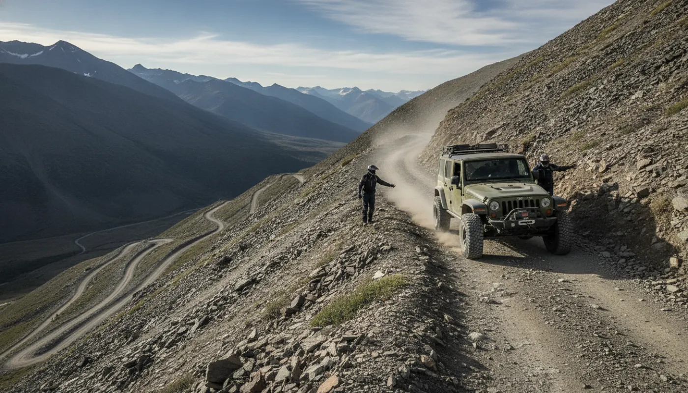
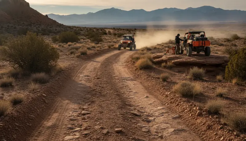
Poughkeepsie Gulch and Black Bear Pass near Silverton anchor Colorado's premier expert destination: routes demanding lockers, articulation, and purpose-built rock crawlers. Poughkeepsie Gulch is widely regarded as the hardest trail in the Ouray–Silverton–Lake City area, infamous for "The Wall," a steep embedded-rock obstacle with multiple lines that challenge even heavily built rigs. Routes like these demand suspension modifications, locking differentials, rock sliders, and quality skid protection; stock vehicles have no business here.
Black Bear Pass is the route everyone warns you about, and the warning is specific: the upper switchback section dropping into Telluride is one-way downhill only, a committing series of tight, exposed switchbacks along sheer drop-offs with no room to turn around once you've started down. The danger isn't an "approach angle", it's that you cannot back out, and a misjudged turn on a narrow shelf has killed riders here. Your vehicle needs low-range 4WD, good tires, excellent brakes, a working emergency brake, and a driver who has run exposed shelf roads before.
The San Juan Mountains complex, centered on Ouray and Silverton, hosts Colorado's densest collection of extreme OHV terrain. Strung together with the moderately rated Engineer Pass and Ophir Pass, the harder routes form a regional circuit that can fill two full days and rewards recovery-crew-grade capability or a local guide service. These are destinations for drivers with multiple prior expert routes under their belt, properly sorted vehicles, and honest self-assessment.
Permits, Seasonal Access, and Essential Preparation
Colorado's permit system is refreshingly simple compared to states that gate access area by area:
- One sticker. A statewide CPW OHV registration (residents) or non-resident OHV permit (roughly $25–$30 per year, valid April 1 through March 31), displayed on your machine, honored on designated OHV systems across BLM and Forest Service land.
- Spark arrestor required for national-forest riding; some staging areas and county parks layer on a modest day-use or parking fee.
- Call the district before you trailer. Where access gets complicated isn't paperwork, it's seasonal closures and road damage. For the Ouray-side routes that's the Ouray Ranger District of the Grand Mesa, Uncompahgre & Gunnison National Forests; the Silverton side is the Columbine District of the San Juan National Forest; Rampart Range is the South Platte District of the Pike–San Isabel.
Seasonal access dominates Colorado planning and often surprises riders used to year-round states. High alpine routes above 11,000 feet rarely open before late June and typically close by early October. Mid-range zones (8,000–10,000 feet) typically run May through October, weather permitting. Lower elevations stay passable most of the year, but spring runoff and late-winter mud can make May and early June unreliable in heavy snow years. A route open last September may be inaccessible this June if winter washout was severe.
Essential prep before any Colorado OHV trip:
- Tires and fluids. Verify pressure and sidewall health, top off everything, and pack valve stems plus a patch kit
- Communication, a satellite communicator (Garmin inReach or similar) is non-negotiable beyond cell range, which is most Colorado OHV terrain; tell someone your route and return time
- Water beyond what you think you need: altitude dehydration compounds above 10,000 feet, and an under-hydration headache impairs judgment fast
- A tested recovery kit, run your winch and rigging on pavement first; an untested kit becomes a liability when stakes are high and help is hours away