Parsons Mountain OHV Trail
About
Gallery
Park details
- Vehicle Types
- ATV, Dirt Bike
- Access
- Public land
Trails at this park
Loads the full map of the trails at this listing. We leave it off by default so the page opens fast on mobile data.
Rider reviews
What riders are saying
- DDennis Yeager· 3 months ago
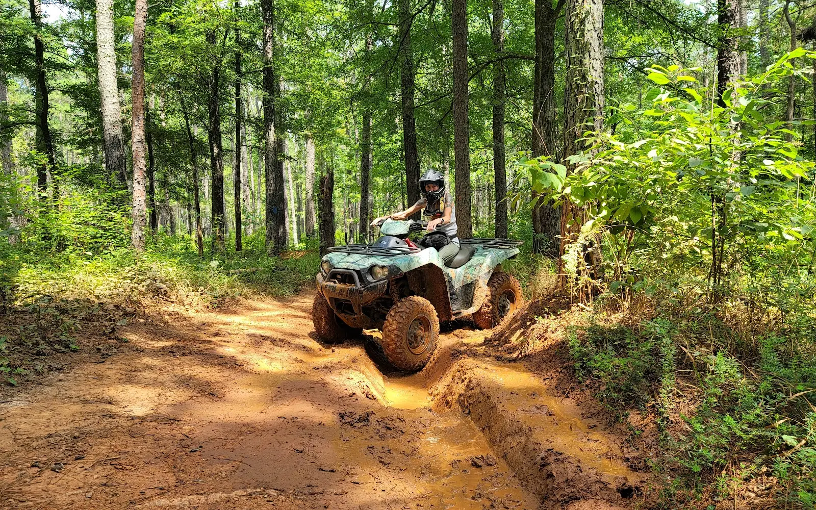
Trails are a little challenging water holes thru out with some really deep rutts. So be careful. I would say it is an intermediate trail at best but a good time for me anyway.
- DDylan Le Guigner· 10 months ago
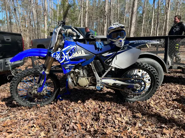
Nice place with two main loops, one was very damaged even after a full week without rain. The other one, the longest one, was quite nice but with a lot of rocks. Better for ATV that for Dirtbike
- AAlex O· 2 years ago
This place is a Diamond in the rough! For $5 a day you can not beat the amount of fun that can be had at Parson's Mountain OHV. The trails are beginner to intermediate with some mud depending on weather but there are usually spots to go around if desired. My family and I will be visiting frequently in the future. Plan ahead for bathroom accommodations as the the ones on location did not seem to be maintained, totally understandable with how remote the location is. I would recommend this area to anyone interested in a nice day of riding. Remember to call the hotline before you haul and follow all posted rules and guidelines so we can keep it open for many years to come!
- Ttyler sowell· a year ago
Well maintained trails with intermediate terrain good for mud or technical trail riding "all major mud holes have a bypass" mainly ATV trails however I had no issues on my bike
Reviews powered by Google. Content belongs to its respective authors.
Current conditions
High today
90°F
Wind
12 kt
Gusts 25 kt
Rain chance
24%
Week ahead
Forecast from Open-Meteo global models (NOAA & ECMWF).
More off-road parks in South Carolina
Also nearby
Other ways to get outside within about an hour of here.

Free tools
Your free outdoor toolkit

Everything Map
Listings, trails, spots, clubs and public land on a single full-screen map. Switch layers on and off, then tap any point for the details.
Open Everything MapTrail Explorer
Browse a community map of named trails with distance, difficulty, and where each one starts.
Open Trail ExplorerRoute Planner
Drop stops on a map and watch distance and drive time add up. Export a GPX or share the link.
Open Route PlannerOff-Road Clubs
Browse local clubs with meeting info and how to join, or start your own for free.
Open Off-Road ClubsLive Conditions
Real-time conditions spot by spot, pulled from public weather feeds, before you commit to the drive.
Open Live ConditionsWebcams
Live camera feeds from popular spots. Eyeball the crowd, the surf, or the snow before you go.
Open Webcams



