Cedar Springs OHV Trail
About
Gallery
Park details
- Vehicle Types
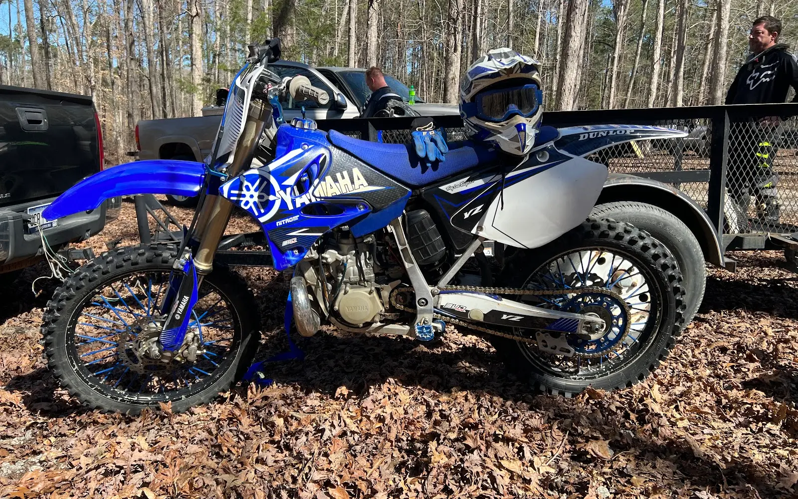
- ATV, Dirt Bike
- Access
- Public land
Trails at this park
Loads the full map of the trails at this listing. We leave it off by default so the page opens fast on mobile data.
Rider reviews
What riders are saying
- RRoss Taylor· a year ago
Today is 7/31/2025. If anybody who is planning to come here anytime in the near future and just so happens to see this, then you might want to take a chainsaw or even a handsaw would be be ok, because there is a tree down that’s blocking the trail about 5 mins or so from the trailhead. The tree is a little less than a foot in diameter..2 people could probably even move it out of the way, but I was alone today so I had to take my machete and cut out a trail around it. Other than that, this place was awesome! I like it better than parsons mountain honestly..mainly because it has more speed sections and lot more jumps/whoops.
- MMike Mckinsey· a year ago
I was there to clear and clean up the trails. USFS didn't have anyone to get the trails back open after Helene and would have closed them until Summer 2025. 5 volunteers and myself got this trail opened back up, you're welcome!
- SSarah Frizzell· 2 years ago
***NOT MAINTAINED!!*** Massive ruts and trees which require detours. Definitely challenging and technical. First 3rd is probably the worst. The tail loop isn't so bad. After ducking under a couple trees, the last 3rd is the best. Beware of rutted out water hazard in the first mile. Recommend wearing long sleeves or risk getting torn up by briars and branches!
- Aandrewg367· 7 years ago
Good place to ride. Two loops that equal about 14 miles total. The trails are in good shape and can be fun and flow well. I only wish there were more trails to ride here.
Reviews powered by Google. Content belongs to its respective authors.
Current conditions
High today
89°F
Wind
12 kt
Gusts 26 kt
Rain chance
22%
Week ahead
Forecast from Open-Meteo global models (NOAA & ECMWF).
More off-road parks in South Carolina
Also nearby
Other ways to get outside within about an hour of here.

Free tools
Your free outdoor toolkit

Everything Map
Listings, trails, spots, clubs and public land on a single full-screen map. Switch layers on and off, then tap any point for the details.
Open Everything MapTrail Explorer
Browse a community map of named trails with distance, difficulty, and where each one starts.
Open Trail ExplorerRoute Planner
Drop stops on a map and watch distance and drive time add up. Export a GPX or share the link.
Open Route PlannerOff-Road Clubs
Browse local clubs with meeting info and how to join, or start your own for free.
Open Off-Road ClubsLive Conditions
Real-time conditions spot by spot, pulled from public weather feeds, before you commit to the drive.
Open Live ConditionsWebcams
Live camera feeds from popular spots. Eyeball the crowd, the surf, or the snow before you go.
Open Webcams



