Skip to content
Idaho

Yankee Fork OHV / Custer Motorway

Riding AreaATVDirt BikeSxS / UTV4x4 / JeepTruck
Visit websiteCall

About

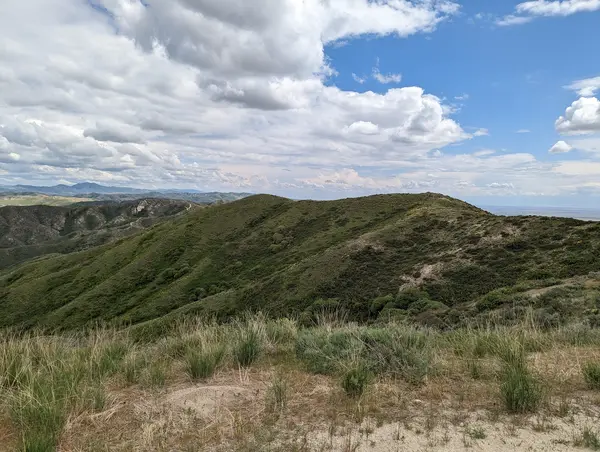
The Yankee Fork OHV Area and Custer Motorway Adventure Road constitute one of Idaho's most historically rich and visually dramatic off-highway vehicle destinations, a network of designated OHV routes in the Salmon-Challis National Forest in Custer County that follows the Yankee Fork of the Salmon River through the ghost town country of Idaho's 19th-century gold and silver mining era. The Custer Motorway is a 36-mile designated 4WD and OHV route that traces the historic wagon road connecting the mining camps of the Yankee Fork district, passing directly through the ghost town of Custer: one of the best-preserved Idaho mining settlements, with standing structures including a mill building, miners' cabins, and the interpretive Custer Museum managed by the BLM. The route continues past the Jordan Creek mining area, the Yankee Fork Dredge (a massive 1940s gold dredge preserved in-place as a BLM heritage site), and the active Sunbeam Hot Springs before connecting to the Stanley Basin. The surrounding Salmon-Challis terrain is central Idaho's Salmon River Mountains at their most open and dramatic: the broad glacially carved valley of the Yankee Fork, granite peaks rising to 10,000 feet on the surrounding ridges, and the open sagebrush and grass park terrain of the mountain valley floor that provides a landscape scale rarely found in the more heavily forested northern Idaho OHV systems. ATVs, UTVs, dirt bikes, and full-size 4x4 trucks on appropriate routes are all accommodated. Idaho OHV registration required. Challis Ranger District office (208-879-4100) manages current route conditions and publishes Custer Motorway access information.

Park details

Vehicle Types
ATV, Dirt Bike, SxS / UTV, 4x4 / Jeep, Truck
Access
Public land

Around here

Around Yankee Fork OHV / Custer Motorway

Holman Creek Campground8.1 miDeadman Hole Recreation Site7.2 mi5 mi

Data Source: Recreation.gov · Source: USDA Forest Service · Source: USGS GNIS · Public land: USGS PAD-US · Forest roads: USDA Forest Service MVUM · BLM routes and areas: Bureau of Land Management (simplified for web display)

Current conditions

Today · Fri

93Go/ 100

CloudyHigh 47°F, low 25°FRain 2%Wind 8 kt, gusts 12

Forecast from Open-Meteo global models (NOAA & ECMWF).

More off-road parks in Idaho
View all Idaho parks

Also nearby

Other ways to get outside within about an hour of here.