Skip to content
Brent, Alabama

Talladega National Forest OHV

Riding AreaATVDirt BikeSxS / UTV
Visit website

About

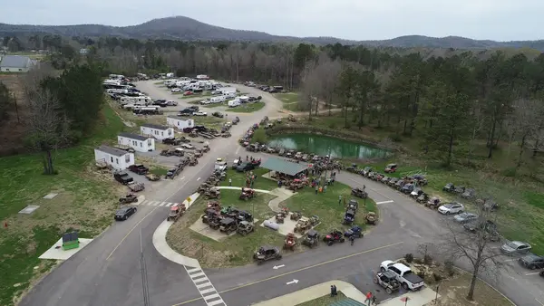
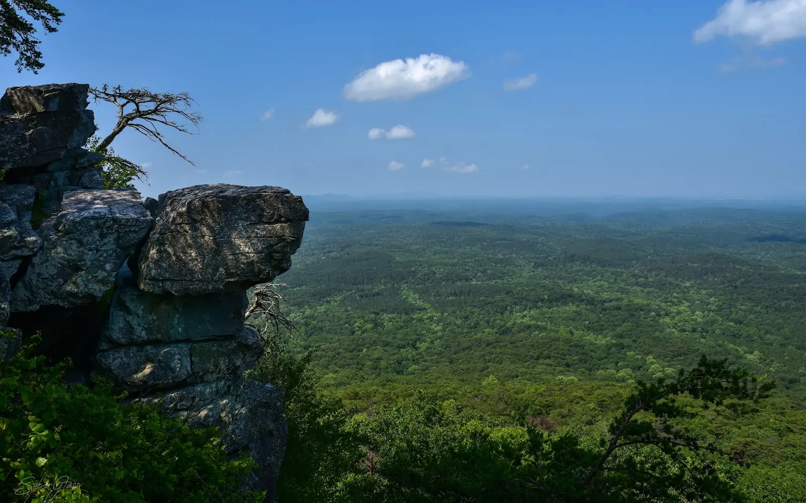
The Talladega National Forest encompasses 392,000 acres of the Alabama Piedmont and Ridge-and-Valley province in Cleburne, Clay, Talladega, Shelby, Coosa, Randolph, Chilton, and Tuscaloosa counties, the largest national forest in Alabama, occupying the folded Appalachian mountain terrain northeast of Birmingham and the piedmont plateau country to the south and west. The OHV trail system operates on designated routes through the forest's Talladega, Shoal Creek, and Oakmulgee Ranger Districts, with the Talladega Mountains in Cleburne and Clay counties providing the most elevated and technically demanding riding terrain. The Talladega Mountains (Cheaha Mountain (2,413 ft, the highest point in Alabama) and the surrounding Blue Ridge foothills), represent the southwesternmost extension of the Blue Ridge physiographic province in the eastern United States, and the OHV routes in the Shoal Creek and Talladega districts traverse the ridge-and-valley terrain of this southernmost Appalachian country on trails through the mixed oak-pine forest that covers the Alabama hill country. Cheaha State Park, adjacent to the national forest at the summit of Cheaha Mountain, provides camping and facilities infrastructure for OHV riders staging in the eastern Talladega. The Oakmulgee District in the forest's western reach occupies a completely different landscape: the low-relief, sand-ridge Coastal Plain terrain of Tuscaloosa and Bibb counties, with the Oakmulgee Creek bottomland hardwood corridor and the sandstone-cap ridge terrain of the Alabama Piedmont transition zone. The Talladega serves the Birmingham metropolitan area (1.1 million, approximately one hour west) as the closest significant national forest OHV terrain. Alabama OHV registration required. Shoal Creek Ranger District at Heflin (256-463-2272) manages current mountain district trail access.

Gallery

Park details

Vehicle Types
ATV, Dirt Bike, SxS / UTV
Access
Public land

Trails at this park

Loads the full map of the trails at this listing. We leave it off by default so the page opens fast on mobile data.

Browse all trails

Current conditions

85Go/ 100 conditions scoreBest day: Fri, Sep 25 (95)

High today

92°F

Wind

10 kt

Gusts 17 kt

Rain chance

21%

Week ahead

Tue92°F21%
Wed89°F39%
Thu80°F24%
Fri81°F3%
Sat82°F3%
Sun86°F3%
Mon87°F9%

Forecast from Open-Meteo global models (NOAA & ECMWF).

Free tools

Your free outdoor toolkit

In your pocket

Take every trail with you.

Free, no account needed. Trail maps, live GPS ride recording that survives a dead zone, and every park in your pocket.

  • Every park and trail system in your pocket

  • Record every ride with GPS. Hands-free

  • File a ride plan and ETA. The app flags you overdue

  • GPS tracking that keeps recording past the last bar of signal

The Off Road Hubs app dashboard

For operators

Run an off-road business?
Get on the map for free.

Claim your free listing for a branded page and a spot in the Off Road Hubs app, then add bookings and digital waivers whenever you’re ready. No setup cost.