Skip to content
Wyoming

Red Desert BLM Riding

Riding AreaATVDirt BikeSxS / UTV4x4 / JeepTruck
Visit website

About

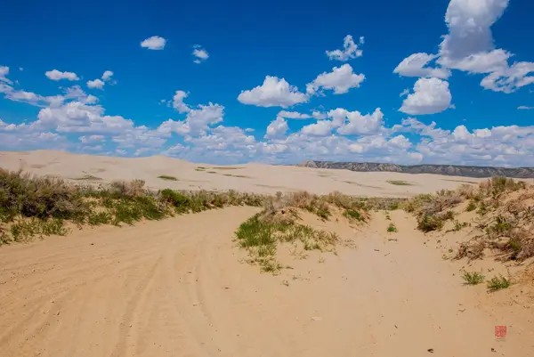
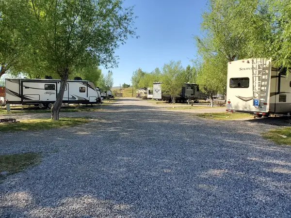
The Red Desert is one of the largest undeveloped areas in the continental United States: a 9,320-square-mile expanse of high-elevation cold desert in the Great Divide Basin of south-central Wyoming, managed primarily by the BLM Rock Springs Field Office. The Great Divide Basin is a hydrographic anomaly: a genuinely closed basin with no outlet to either ocean, where the Continental Divide splits around the basin rim and all precipitation that falls within evaporates in place rather than flowing to the sea. This unique geology produces the landscape features that give Red Desert riding its distinctive character: the Killpecker Sand Dunes (separately covered in the Killpecker park listing), the Honeycomb Buttes sandstone and clay formations, Steamboat Mountain, Boars Tusk volcanic neck, and vast sagebrush-steppe flats that stretch to every horizon. For OHV riders, the Red Desert offers the closest thing in the lower 48 to unrestricted open-range cross-country desert riding at scale, BLM land designation allows motorized travel on designated routes throughout the basin, with travel management plans that vary by district but generally permit substantial mileage without the density of travel restriction that applies to smaller BLM units. ATVs, UTVs, dirt bikes, and 4x4 trucks are all accommodated on designated routes. Wyoming OHV registration is required. The remoteness is genuine: most Red Desert riding starts from Rock Springs (population ~23,000) on I-80, and distances from the interstate into the basin interior are substantial. Cell coverage is poor to nonexistent across most of the basin. Dispersed camping is permitted throughout under standard BLM 14-night limits. BLM Rock Springs Field Office (307-352-0256) manages the travel management plan and posts current seasonal conditions.

Park details

Vehicle Types
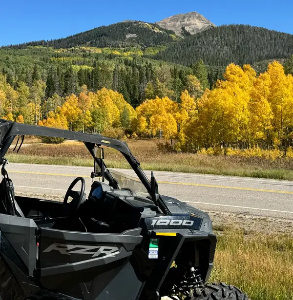
ATV, Dirt Bike, SxS / UTV, 4x4 / Jeep, Truck
Access
Public land

Trails at this park

Loads the full map of the trails at this listing. We leave it off by default so the page opens fast on mobile data.

Browse all trails

Current conditions

74Go/ 100 conditions scoreBest day: Wed, Sep 23 (93)

High today

69°F

Wind

23 kt

Gusts 33 kt

Rain chance

35%

Week ahead

Tue69°F35%
Wed64°F9%
Thu68°F22%
Fri73°F22%
Sat74°F1%
Sun74°F5%
Mon63°F22%

Forecast from Open-Meteo global models (NOAA & ECMWF).

Free tools

Your free outdoor toolkit

In your pocket

Take every trail with you.

Free, no account needed. Trail maps, live GPS ride recording that survives a dead zone, and every park in your pocket.

  • Every park and trail system in your pocket

  • Record every ride with GPS. Hands-free

  • File a ride plan and ETA. The app flags you overdue

  • GPS tracking that keeps recording past the last bar of signal

The Off Road Hubs app dashboard

For operators

Run an off-road business?
Get on the map for free.

Claim your free listing for a branded page and a spot in the Off Road Hubs app, then add bookings and digital waivers whenever you’re ready. No setup cost.