Skip to content
Mountain View, Arkansas

Ozark NF Sylamore OHV Trails

Riding AreaATVDirt BikeSxS / UTV
Visit website

About

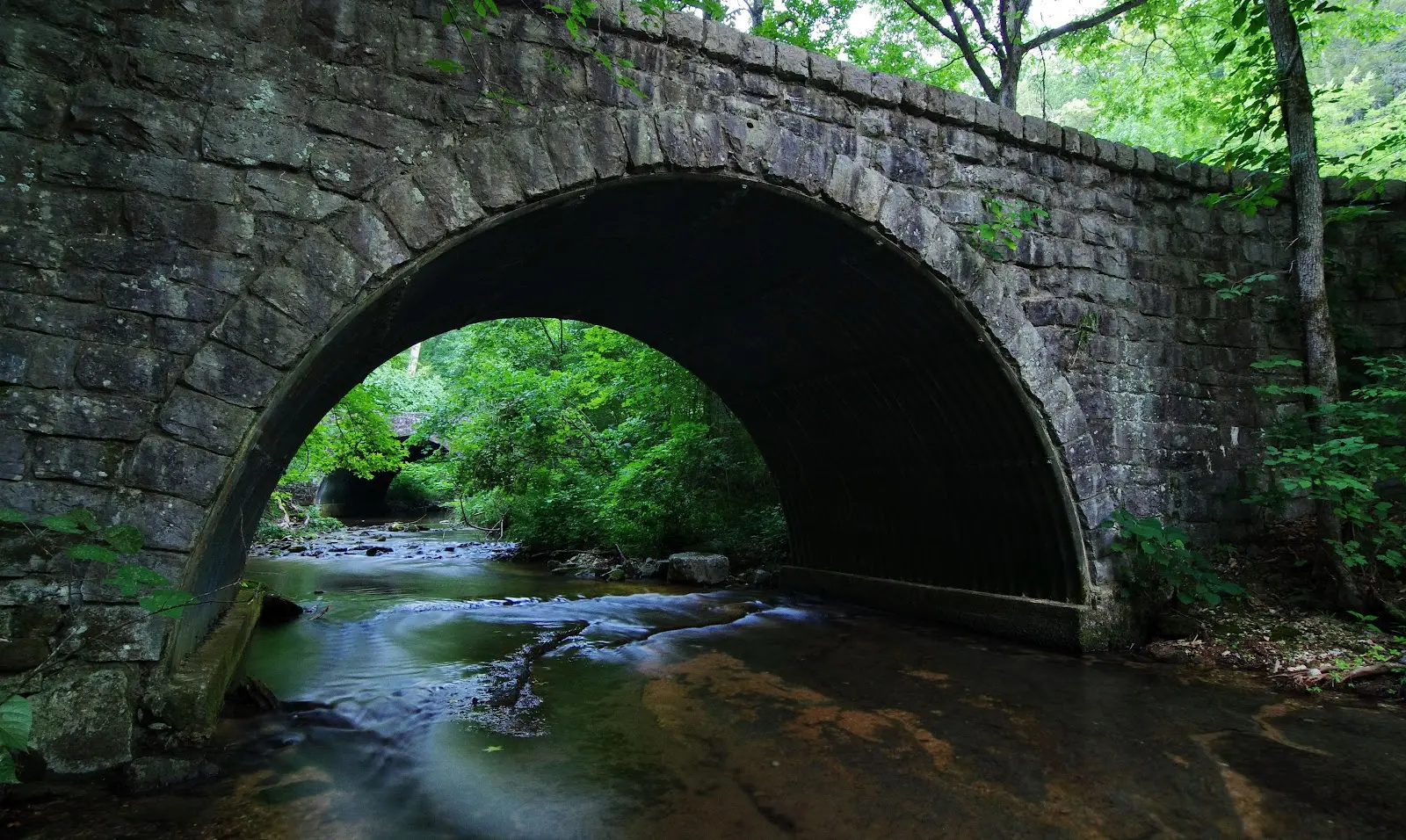
The Sylamore Ranger District of the Ozark-St. Francis National Forests manages the primary OHV trail network in north-central Arkansas's Ozark highlands, a riding landscape entirely distinct from the southern Arkansas Ouachita Mountain parks that receive more attention. Where the Ouachita National Forest (Wolf Pen Gap, Crystal Springs) occupies Arkansas's folded mountain province to the south, the Ozark National Forest covers the dissected Springfield and Salem Plateaus of the Ozark Uplift in the north: a landscape of broad, forested plateau surfaces cut by the deep river valleys of the White River, Buffalo River, and their tributaries into the canyons and bluffs that define Ozark country. The Sylamore District OHV trail system operates in Stone and Izard counties around the city of Mountain View, the self-proclaimed Folk Music Capital of the World, situated on the edge of the Springfield Plateau where it breaks away into the deeper river canyon country. The trail network follows the ridge-top terrain above the Buffalo National River to the north and the White River to the south, traversing the characteristic Ozark landscape of dry chert and sandstone ridge-tops under shortleaf pine and upland oak, moister north-facing slopes in hardwood cove communities of maple, beech, and basswood, and the rocky creek drainages cutting through the plateau. The Sylamore Creek corridor within the national forest provides particularly scenic riding along a clear-water Ozark stream. ATVs, UTVs, and off-highway motorcycles are accommodated on designated routes; no day-use fee or OHV registration required on national forest land. Sylamore Ranger District at Mountain View (870-269-3228) manages current trail conditions and seasonal access.

Gallery

Park details

Vehicle Types
ATV, Dirt Bike, SxS / UTV
Access
Public land

Trails at this park

Loads the full map of the trails at this listing. We leave it off by default so the page opens fast on mobile data.

Browse all trails

Current conditions

93Go/ 100 conditions scoreBest day: Thu, Sep 24 (97)

High today

80°F

Wind

9 kt

Gusts 15 kt

Rain chance

10%

Week ahead

Tue80°F10%
Wed77°F2%
Thu79°F0%
Fri84°F1%
Sat89°F3%
Sun76°F15%
Mon69°F18%

Forecast from Open-Meteo global models (NOAA & ECMWF).

Free tools

Your free outdoor toolkit

In your pocket

Take every trail with you.

Free, no account needed. Trail maps, live GPS ride recording that survives a dead zone, and every park in your pocket.

  • Every park and trail system in your pocket

  • Record every ride with GPS. Hands-free

  • File a ride plan and ETA. The app flags you overdue

  • GPS tracking that keeps recording past the last bar of signal

The Off Road Hubs app dashboard

For operators

Run an off-road business?
Get on the map for free.

Claim your free listing for a branded page and a spot in the Off Road Hubs app, then add bookings and digital waivers whenever you’re ready. No setup cost.