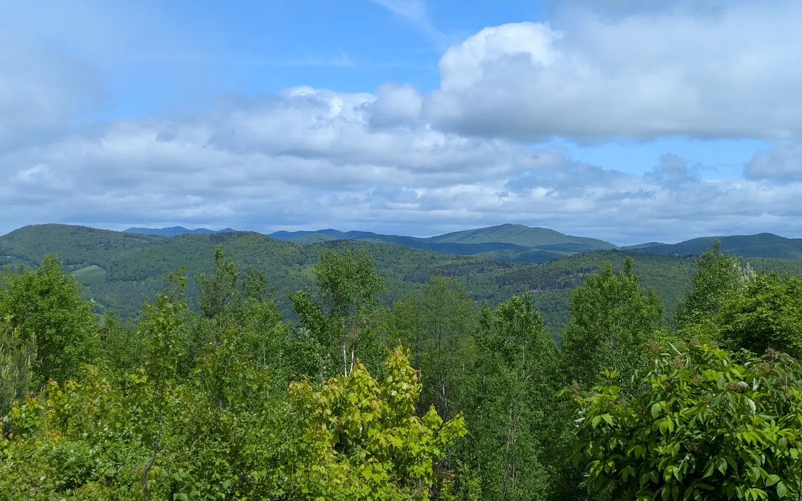
Green Mountain National Forest OHV Trails
About
Gallery
Park details
- Vehicle Types
- ATV, Dirt Bike, SxS / UTV
- Access
- Public land
Trails at this park
Loads the full map of the trails at this listing. We leave it off by default so the page opens fast on mobile data.
- Bean Bridge Roadmoderatemixed2.2 mi
- Town Highway 2moderatemixed1.7 mi
- State Garage Roadmoderatemixed1.5 mi
- Green Mountain Trail 18expertmixed1.4 mi
- Green Mountain Trail 2moderategravel1.2 mi
- Spike Horn Roadmoderatemixed0.94 mi
- Green Mountain Trail 17expertmixed0.91 mi
- Rebel Mountain Roadmoderatemixed0.80 mi
- Town Highway 25moderatemixed0.57 mi
- Green Mountain Trail 5moderatemixed0.55 mi
- Campbell Roadmoderategravel0.47 mi
- Town Highway 25expertmixed0.39 mi
Rider reviews
What riders are saying
- AAndrew Thomas· 2 months ago
Wonderful mountain bike trails. Good mix of beginner to advanced trails.
- BBarry Hulce· 6 years ago
This was my first time riding the Green Mountain Trails and they were great. The area and trails are really well maintained. There are trail options for all abilities. The cabin at the top offers a fantastic view of the surrounding mountains and valley. As I learned, there may be a river crossing needed so check the website. I also highly recommend getting a sandwich from the deli down the street! Happy riding.
- SSamantha Rice· 6 years ago
Our favorite little hidden gem! Great for a family hike and picnic! We have been several times! Our son enjoys the small waterfall feature and the fairy gardens!
- MMeredith Schneider· 8 years ago
Great ride to top about 5 miles. Go up the noodle trail if you can and then go up green trail. Or park near the top. Check out the map at the farm parking lot. Also if you dont want to have a initial 5 mile climb Drive up tweed river dr , park your car and your only 1.3 miles away from top of the mountain.. fusters is a great decent .
Reviews powered by Google. Content belongs to its respective authors.
Current conditions
High today
57°F
Wind
5 kt
Gusts 9 kt
Rain chance
1%
Week ahead
Forecast from Open-Meteo global models (NOAA & ECMWF).
More off-road parks
Also nearby
Other ways to get outside within about an hour of here.
Free tools
Your free outdoor toolkit

Everything Map
Listings, trails, spots, clubs and public land on a single full-screen map. Switch layers on and off, then tap any point for the details.
Open Everything MapTrail Explorer
Browse a community map of named trails with distance, difficulty, and where each one starts.
Open Trail ExplorerRoute Planner
Drop stops on a map and watch distance and drive time add up. Export a GPX or share the link.
Open Route PlannerOff-Road Clubs
Browse local clubs with meeting info and how to join, or start your own for free.
Open Off-Road ClubsLive Conditions
Real-time conditions spot by spot, pulled from public weather feeds, before you commit to the drive.
Open Live ConditionsWebcams
Live camera feeds from popular spots. Eyeball the crowd, the surf, or the snow before you go.
Open Webcams



