Skip to content
Colville National Forest OHV
Colville, Washington

Colville National Forest OHV

Riding AreaATVDirt BikeSxS / UTV
Visit websiteCall

About

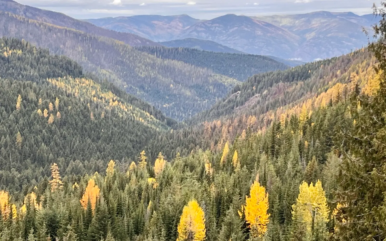
The Colville National Forest encompasses 1.1 million acres of the Okanogan Highlands and Selkirk Mountains in Ferry, Stevens, and Pend Oreille counties in the extreme northeastern corner of Washington: the least-known major national forest in the state, occupying a corner of Washington that shares its geology, ecology, and cultural character more with the Rocky Mountain province to the east than with the Cascade-influenced west. The Colville OHV trail network threads through the forest's multiple ranger districts on designated routes, with the Republic, Kettle Falls, and Newport districts providing the primary riding terrain in a landscape defined by the Kettle River Range, the Selkirk Mountains, and the Columbia Highlands, a broad, glacially sculpted plateau country broken by the north-south trending ranges that run parallel to the Columbia River's great northern bend. The Colville is Rocky Mountain forest in character: ponderosa pine and western larch on the lower-elevation dry slopes, lodgepole pine and Douglas fir in the mid-elevation bands, and Engelmann spruce and subalpine fir on the higher ridges, a forest composition shared with the Okanogan-Wenatchee to the west and the Idaho Panhandle National Forests to the east. Republic, the Ferry County seat, serves as the hub community for the forest's western districts; Colville serves the Kettle Falls district; and Newport serves the Pend Oreille county eastern reaches. The forest is among the most remote in Washington, distances from the Seattle-Tacoma and Spokane markets mean the Colville attracts riders who want genuine backcountry isolation rather than day-trippable terrain. Washington Discover Pass required at developed trailheads; Washington OHV permit required. Republic Ranger District (509-775-7400) manages northwest district trail status.

Gallery

Park details

Vehicle Types
ATV, Dirt Bike, SxS / UTV
Access
Public land

Rider reviews

4.7on Google, 1,358 reviews
Read the reviews on Google Maps

Rating from Google.

Around here

Around Colville National Forest OHV

Snow Peak Cabin11 miBeth Lake Campground11.2 mi10 mi

Source: USDA Forest Service · Data Source: Recreation.gov · Source: USGS GNIS · Public land: USGS PAD-US · Forest roads: USDA Forest Service MVUM · BLM routes and areas: Bureau of Land Management (simplified for web display)

Current conditions

Today · Fri

80Go/ 100

CloudyHigh 50°F, low 35°FRain 38%Wind 10 kt, gusts 21

Air quality

67 Moderate

Republic monitor, 3 km

Forecast from Open-Meteo global models (NOAA & ECMWF). Air quality: Washington Department of Ecology via EPA AirNow. Preliminary data, not verified.