Skip to content
Cave Run Lake OHV / Zilpo Road
Salt Lick, Kentucky

Cave Run Lake OHV / Zilpo Road

Riding AreaATVSxS / UTV4x4 / Jeep
Visit websiteCall

About

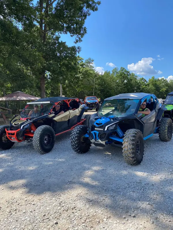
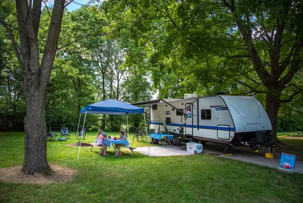
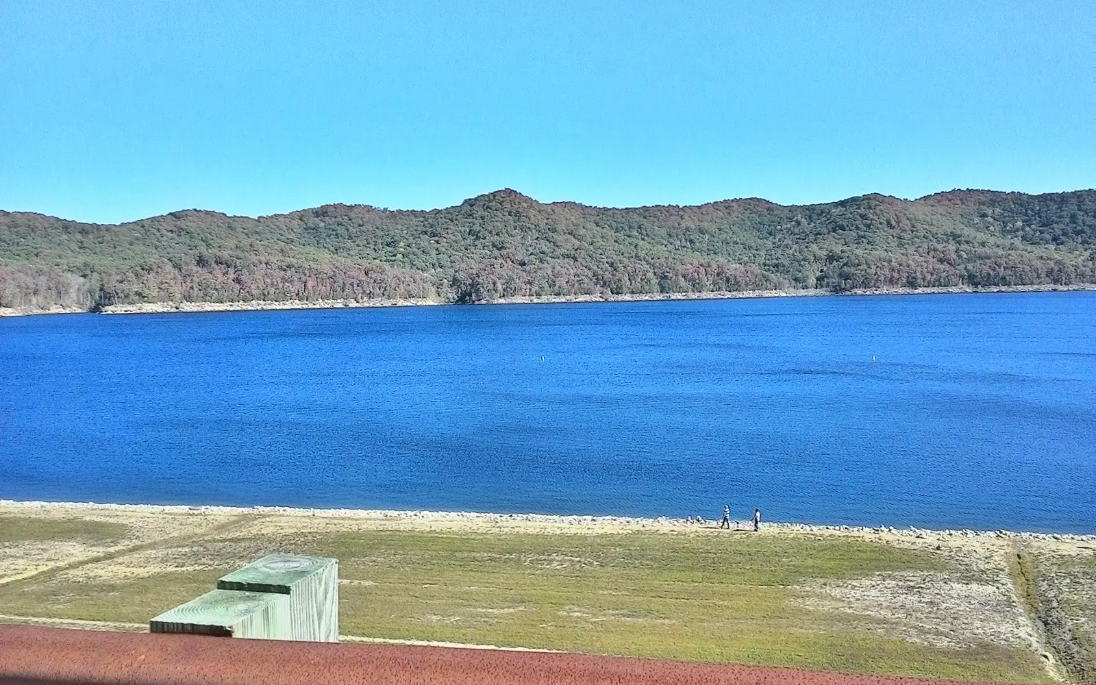
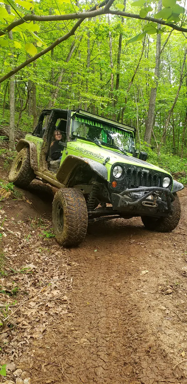
The Cave Run Lake area of the Daniel Boone National Forest's Morehead Ranger District in Rowan County provides public-land OHV and 4WD access in northeastern Kentucky's knob country north of the Appalachian coalfields: a landscape of rounded sandstone ridges, deciduous hardwood hollows, and the reservoir country of Cave Run Lake (8,270 acres, one of Kentucky's largest lakes) that defines this stretch of the Cumberland Plateau's western edge. The centerpiece of motorized recreation in the district is Zilpo Road (Forest Road 918), a 9-mile paved scenic byway that closes seasonally to create a motorized recreation corridor: during weekend closures it becomes open to licensed ATVs, UTVs, and registered off-road vehicles operating alongside bicycles and pedestrians. Adjacent designated OHV trails thread through the Zilpo Recreation Area and the surrounding national forest land on the knobs above the lake, with routes covering moderate terrain through the mixed oak-hickory forest. The Cave Run area is distinct from the Morehead area's private commercial parks (Dirt Nasty Off-Road operates nearby on private property) as the primary public-land motorized recreation opportunity in northeastern Kentucky. Cave Run Lake itself provides swimming, fishing, and camping infrastructure that makes the area a multi-day destination for riders combining OHV with lake recreation. The Twin Knobs and Zilpo campgrounds on the lake shore are the primary staging camps. Morehead Ranger District office (606-784-6428) manages current Zilpo Road seasonal status and OHV trail conditions.

Gallery

Park details

Vehicle Types
ATV, SxS / UTV, 4x4 / Jeep
Access
Public land

Rider reviews

4.7on Google, 428 reviews
Read the reviews on Google Maps

Rating from Google.

Around here

Around Cave Run Lake OHV / Zilpo Road

Twin Knobs Campground1.8 miCave Run Lake1.6 mi1 mi

Data Source: Recreation.gov · Source: USDA Forest Service · Source: USGS GNIS · Public land: USGS PAD-US · Forest roads: USDA Forest Service MVUM · BLM routes and areas: Bureau of Land Management (simplified for web display)

Current conditions

Today · Fri

96Go/ 100

CloudyHigh 58°F, low 42°FRain 2%Wind 8 kt, gusts 15

Air quality

32 Good

Crockett monitor, 47 km

Forecast from Open-Meteo global models (NOAA & ECMWF). Air quality: EPA Office of Atmospheric Protection via EPA AirNow. Preliminary data, not verified.

More off-road parks in Kentucky
View all Kentucky parks

Also nearby

Other ways to get outside within about an hour of here.