Around here
Around Unnamed trail in Tecumseh Trails Off Road
Loading map…
- Jellystone Park™ Hocking HillsRV park · ★ 3.913.1 mi (opens in a new tab)
- Riversedge Campground & MarinaRV park · ★ 4.716.7 mi (opens in a new tab)
- Campbell Cove Campground by Lake Logan in the Hocking HillsRV park · ★ 4.718.4 mi (opens in a new tab)
- Hocking River RV ParkRV park · ★ 4.118.5 mi (opens in a new tab)
Data Source: Recreation.gov · Source: USGS GNIS · Public land: USGS PAD-US · Forest roads: USDA Forest Service MVUM · BLM routes and areas: Bureau of Land Management (simplified for web display)
Elevation 190 ft 59 ft827 ft–971 ft
01.3 mi
About this trail
Unnamed trail in Tecumseh Trails Off Road is a 1.3 mile moderate trail at Tecumseh Trails Off Road in Ohio. The mapped route runs from 39.5055, -82.0958 to 39.5159, -82.1070. It climbs about 190 ft, topping out at 971 ft. Route geometry comes from OpenStreetMap (way 18967338).
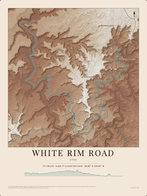
Made to print
Put Unnamed trail in Tecumseh Trails Off Road on your wall
This trail as an art print, drawn over the real terrain with its miles and climb, plus the trails, rivers and peaks around it. Pick the colors and the size, and see the finished print before you buy. From $39, shipping included.
Make the posterOrder by December 8 for Christmas delivery.
More trails at Tecumseh Trails Off Road
- Main Corridor Trailmoderategravel16.5 miMotorcycle, ATVOpen Apr 3 to Dec 6
- Long Ridge Trailmoderategravel3.8 miMotorcycle, ATVOpen Apr 3 to Dec 6
- New Straitsville Loopmoderategravel2.5 miMotorcycle, ATVOpen Apr 3 to Dec 6
- Snake Hollow Trailmoderategravel2.2 miMotorcycle, ATVOpen Apr 3 to Dec 6
- Cawthorn Trailmoderategravel2.1 miMotorcycle, ATVOpen Apr 3 to Dec 6
- Township Highway 308moderatemixed1.9 mi