Around here
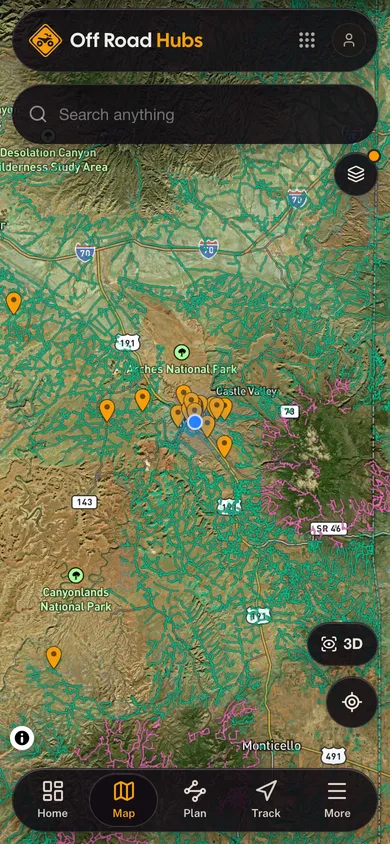
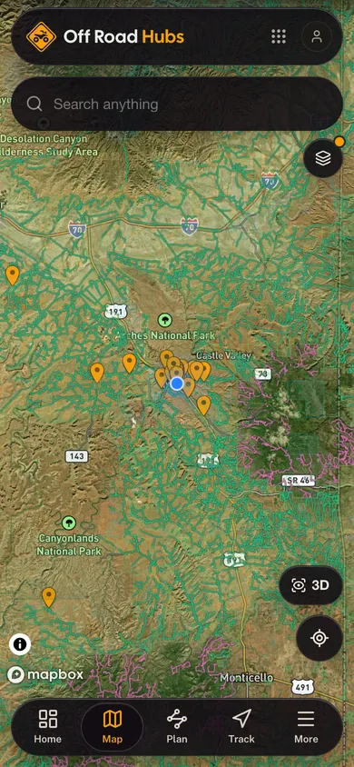
Around Power Line Access Road
Loading map…
Source: USGS GNIS · Public land: USGS PAD-US · Forest roads: USDA Forest Service MVUM · BLM routes and areas: Bureau of Land Management (simplified for web display)
About this trail
Power Line Access Road is a 1.3 mile moderate trail at Rider Hill Motocross in Vermont. The mapped route runs from 44.8800, -71.7246 to 44.8953, -71.7336. The mapped surface is gravel. It is open to motorcycle, ATV and 4WD use; no season is published, so check for seasonal closures before you go. Route geometry comes from OpenStreetMap (way 1050284983).
More trails at Rider Hill Motocross
- Lewis Pond Roadeasygravel12.5 miMotorcycle, ATV, 4WD
- Power Line Roadeasygravel7.3 miMotorcycle, ATV, 4WD
- Stone Dam Roadeasygravel4.1 miMotorcycle, ATV, 4WD
- Four Mile Roadeasygravel3.6 miMotorcycle, ATV, 4WD
- Upper Tin Shack Roadeasygravel3.4 miMotorcycle, ATV, 4WD
- Wylie Hill Roadmoderatemixed2.8 miMotorcycle, ATV, 4WD