Around here
Around Tamarack OHV ATV
- (Lake Alpine) Lodgepole CampgroundCampground · Good for ohv trails1.9 mi (opens in a new tab)
- (Lake Alpine) Silver Tip CampgroundCampground · 22 sites2.2 mi (opens in a new tab)
- (Lake Alpine) West ShoreCampground · 25 sites2.8 mi (opens in a new tab)
- (Lake Alpine) BackpackersCampground · Good for ohv trails3 mi (opens in a new tab)
Data Source: Recreation.gov · Source: USGS GNIS · Public land: USGS PAD-US · Forest roads: USDA Forest Service MVUM · BLM routes and areas: Bureau of Land Management (simplified for web display)
About this trail
Tamarack OHV ATV is a 1.1 mile difficult trail in California. The mapped route runs from 38.4793, -120.0638 to 38.4870, -120.0524. It climbs about 531 ft, topping out at 8,478 ft. It is open to motorcycle and ATV use from Apr 15 to Dec 15. Route geometry comes from the US Forest Service Trails dataset.
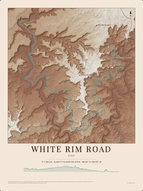
Made to print
Put Tamarack OHV ATV on your wall
This trail as an art print, drawn over the real terrain with its miles and climb, plus the trails, rivers and peaks around it. Pick the colors and the size, and see the finished print before you buy. From $39, shipping included.