Around here
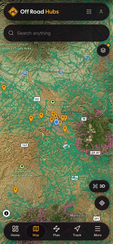
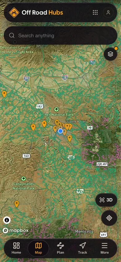
Around White Rim Trail West
Loading map…
Data Source: Recreation.gov · Source: USGS GNIS · Source: National Park Service. No claim to original U.S. Government works. · Public land: USGS PAD-US · Forest roads: USDA Forest Service MVUM · BLM routes and areas: Bureau of Land Management (simplified for web display)
Elevation 748 ft 981 ft7,831 ft–8,077 ft
08.5 mi
About this trail
White Rim Trail West is an 8.5 mile difficult trail at Bobby's Hole 4wd Trail in Utah. The mapped route runs from 37.8625, -109.8712 to 37.8951, -109.8211. It climbs about 748 ft, topping out at 8,077 ft. It is managed for 4WD use year round. Route geometry comes from the US Forest Service Trails dataset.
More trails at Bobby's Hole 4wd Trail
- Vega Creekdifficultmixed8.7 miMotorcycle
- Starvation Point Traildifficultmixed5.7 miATVOpen May 1 to Oct 31
- Shay Ridgemoderatemixed5.2 miATVOpen May 1 to Oct 31
- Lower Indian Creekdifficultmixed5.0 miMotorcycle
- Chimney Parkdifficultmixed4.9 mi4WDOpen May 1 to Oct 31
- West Shay Mine (437)difficultmixed3.5 mi4WD