Around here
Around Garnet Spur
Before you go
Source: USDA Forest Service · Data Source: Recreation.gov · Source: USGS GNIS · Source: National Park Service. No claim to original U.S. Government works. · Public land: USGS PAD-US · Forest roads: USDA Forest Service MVUM · BLM routes and areas: Bureau of Land Management (simplified for web display)
About this trail
Garnet Spur is a 0.65 mile difficult trail in Colorado. The mapped route runs from 40.0082, -105.5032 to 40.0154, -105.4964. It is open to ATV and 4WD use; no season is published, so check for seasonal closures before you go. Route geometry comes from OpenStreetMap (way 357366741).
Made to print
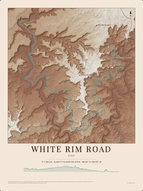
Put Garnet Spur on your wall
This trail as an art print, drawn over the real terrain with its miles and climb, plus the trails, rivers and peaks around it. Pick the colors and the size, and see the finished print before you buy. From $39, shipping included.