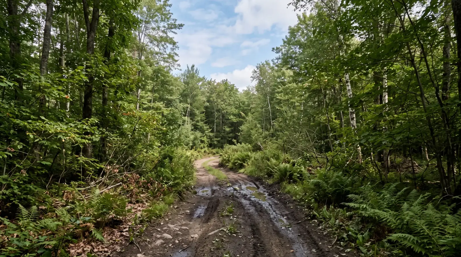
ATV · Utah
ATV in Utah
17 parks across Utah. Ratings, hours, contact details and a map for each, all in one place.
Public land open to ATVs
26,168 mi
National forest + BLM
Rated 4.5+ on Google
12 of 17
Cities
11
Most in Hurricane (2), Kanab (2), Moab (2)
Best season
Apr to Oct
At a glance
Highest rated on Google
Ranked by Google rating, then by number of reviews, across the 9 of 17 parks in Utah with 10 or more Google reviews.
| Park | City | Rating |
|---|---|---|
| Dixie National Forest OHV | Cedar City | 4.85,424 Google reviews |
| Gemini Bridges Trails | Moab | 4.891 Google reviews |
| Little Sahara Recreation Area | Nephi | 4.7917 Google reviews |
| Fishlake National Forest OHV Trails | Central | 4.63,552 Google reviews |
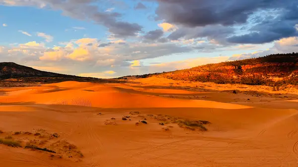
| Coral Pink Sand Dunes | Kanab | 4.63,265 Google reviews |
| Five Mile Pass OHV Area | Cedar Valley | 4.6400 Google reviews |
| White Wash Sand Dunes Recreation Area | Green River | 4.6145 Google reviews |
| Long Valley Recreation Area | Hurricane | 4.6114 Google reviews |
Operators
ATV operators
Loads the full map of every listing on this page. We leave it off by default so the page opens fast on mobile data.
Public land
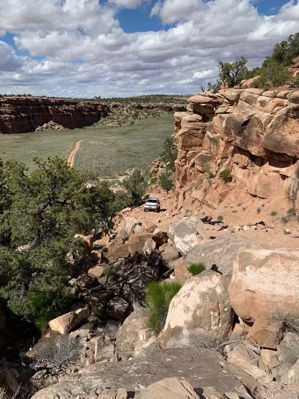
Where ATVs can ride on public land in Utah
- National forest roads and trails open to ATVs
- 8,472 mi
- National forest miles open to ATVs all year
- 7,461 mi
- BLM routes open to ATVs
- 17,696 mi
National forests with the most miles
- Dixie National Forest2,102 mi
- Fishlake National Forest2,086 mi
- Manti-La Sal National Forest1,824 mi
- Uinta-Wasatch-Cache National Forest1,402 mi
- Ashley National Forest961 mi
BLM field offices with the most miles
- Richfield Field Office3,556 mi
- Moab Field Office3,359 mi
- Vernal Field Office3,214 mi
- Price Field Office2,794 mi
- Monticello Field Office2,764 mi
Some national forests are missing from the Forest Service file, so read the national forest miles as a floor. Seasons and width limits vary by route.
Source: USDA Forest Service Motor Vehicle Use Maps. Always check the official MVUM and posted signs; this map is not a legal document.
Source: Bureau of Land Management. Not a legal document or land survey. Check with the BLM field office and posted signs before you ride.
Resources
More to explore in ATV
Hand-picked clips from the community, sorted by what you do.
Videos worth watching
Hand-picked clips, sorted by what you do.
ATV Riding in Sedona | All Terrain Vehicles with Handyman Hal | Trail Riding
Handyman Hal
ATV World Park to Park and EOTA
ATV World Magazine
Ripping Trails & Wrecking our Brand New CFMOTO CFORCE 1000 ATVs
Real Talk Powersports
ATV Rules - 5 Mistakes Offroad riders make!
Navigate Offroad
8 Must Have Trail Essentials For A UTV. Do NOT Go Off-roading Without These
AGM Products
ATV Ocala National Forest | Marion Insider's Guide
ocalamarion
Free tools






