Midway, Utah
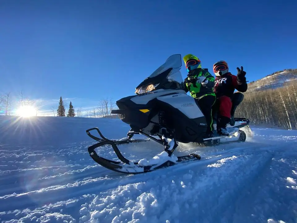
Wasatch Excursions (Winter)
Tour Operator
About
Gallery
Park details
- Access
- Privately operated
Rider reviews
5.0on Google, 1,184 reviews
Read the reviews on Google MapsRating from Google.
Around here
Around Wasatch Excursions (Winter)
Loading map…
- Mineral Basin Roadeasy · Mixed · 5.6 mi · Motorcycle, ATV, 4WD
- Mineral Forkmoderate · Mixed · 4.9 mi · Motorcycle, ATV · Open May 1 to Nov 1
- Mary Ellen Gulch Roadeasy · Mixed · 4.0 mi · Motorcycle, ATV, 4WD
- TV Tower Roadmoderate · Mixed · 3.6 mi · Motorcycle, ATV, 4WD
- Pot Hollowdifficult · Mixed · 1.8 mi · Motorcycle · Open Jul 1 to Oct 31
- Great Western Trailmoderate · Mixed · 1.6 mi · Motorcycle, ATV, 4WD
- Albion BasinCampground · 34 sites6.6 mi (opens in a new tab)
- Redman CampgroundCampground · 41 sites7.1 mi (opens in a new tab)
- Granite FlatCampground · 52 sites9.1 mi (opens in a new tab)
- Spruces - Big CottonwoodCampground · 96 sites10.1 mi (opens in a new tab)
- AltamontGroup camp · 1 site10.5 mi (opens in a new tab)
- TimpoonekeCampground · 30 sites10.6 mi (opens in a new tab)
- Wasatch Mountain State ParkRecreation area0.6 mi (opens in a new tab)
- Jordanelle ReservoirRecreation area6.5 mi (opens in a new tab)
- Jordanelle State ParkRecreation area6.7 mi (opens in a new tab)
- Deer Creek State ParkRecreation area9.1 mi (opens in a new tab)
- Deer Creek ReservoirRecreation area9.2 mi (opens in a new tab)
- Timpanogos Cave Visitor CenterVisitor center13 mi (opens in a new tab)
Data Source: Recreation.gov · Source: USGS GNIS · Public land: USGS PAD-US · Forest roads: USDA Forest Service MVUM · BLM routes and areas: Bureau of Land Management (simplified for web display)
Current conditions
Today · Thu
83Go/ 100
CloudyHigh 40°F, low 30°FRain 0%Wind 17 kt, gusts 21
Air quality
20 Good
Heber monitor, 9 km
Forecast from Open-Meteo global models (NOAA & ECMWF). Air quality: Utah Department of Environmental Quality via EPA AirNow. Preliminary data, not verified.
More off-road parks in Utah


Also nearby
Other ways to get outside within about an hour of here.

Free tools