South Dakota
South Boxelder Trail System
Riding AreaATV
About
Park details
- Vehicle Types
- ATV
- Access
- Public land
Around here
Around South Boxelder Trail System
Loading map…
- Forest Service Road 606moderate · Mixed · 3.9 mi
- Pony Gulch 09moderate · Mixed · 2.9 mi · Motorcycle, ATV · Open Apr 16 to Oct 31
- Forest Road 245moderate · Mixed · 2.5 mi
- Middle Nugget 00moderate · Mixed · 2.3 mi · Motorcycle, ATV · Open May 15 to Oct 31
- FSR 249difficult · Mixed · 2.0 mi
- West Nugget Gulch Roadmoderate · Mixed · 1.8 mi
- Pactola Reservoir CampgroundCampground · 78 sites4.3 mi (opens in a new tab)
- Bear GulchGroup camp · 1 site4.7 mi (opens in a new tab)
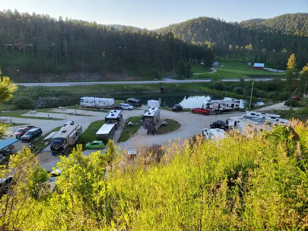
- No Bad Days CampgroundRV park · ★ 4.95.5 mi (opens in a new tab)
- DutchmanCampground · 45 sites8.6 mi (opens in a new tab)
- Roubaix LakeCampground · 57 sites9.3 mi (opens in a new tab)
- Sheridan North Cove Grp CgGroup camp · 5 sites9.5 mi (opens in a new tab)
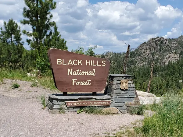
- Black Hills National ForestRecreation area6.1 mi (opens in a new tab)
- Pactola ReservoirRecreation area6.8 mi (opens in a new tab)
- Deerfield ReservoirRecreation area10 mi (opens in a new tab)
- Mallo TrailRecreation area21.6 mi (opens in a new tab)
- Fort Meade Recreation AreaRecreation area22.1 mi (opens in a new tab)
Data Source: Recreation.gov · Source: USGS GNIS · Public land: USGS PAD-US · Forest roads: USDA Forest Service MVUM · BLM routes and areas: Bureau of Land Management (simplified for web display)
Current conditions
Today · Fri
96Go/ 100
CloudyHigh 55°F, low 38°FRain 1%Wind 7 kt, gusts 10
Air quality
21 Good
Black Hawk monitor, 26 km
Forecast from Open-Meteo global models (NOAA & ECMWF). Air quality: South Dakota Department of Agriculture and Natural Resources via EPA AirNow. Preliminary data, not verified.
More off-road parks in South Dakota

Also nearby
Other ways to get outside within about an hour of here.
Free tools






