Skip to content
Pipestone OHV Area
Whitehall, Montana

Pipestone OHV Area

Riding AreaATVDirt BikeSxS / UTV4x4 / Jeep
Visit websiteCall

About

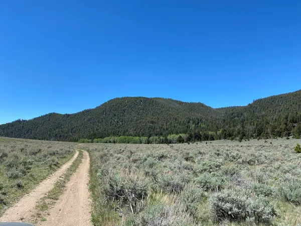
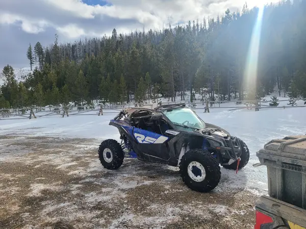
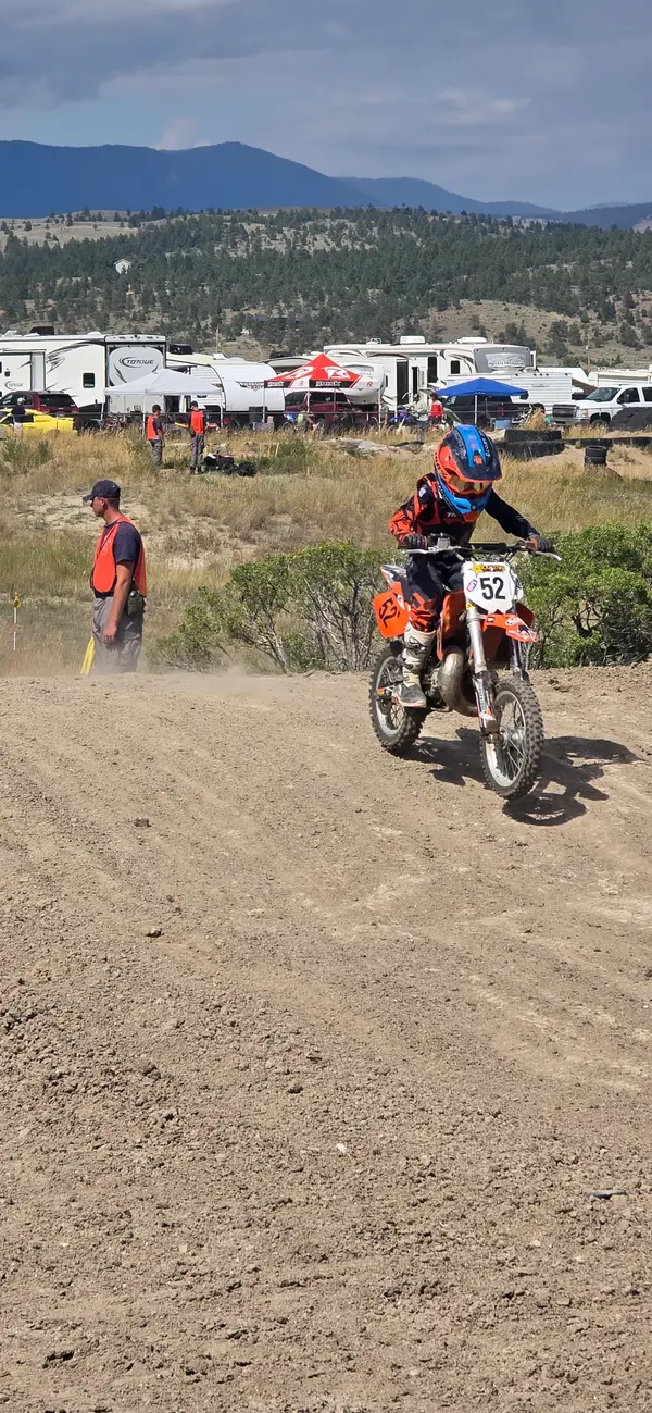
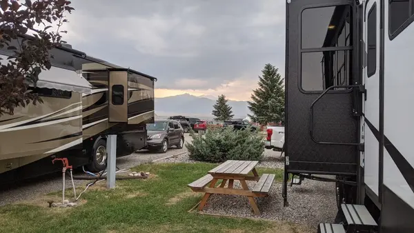
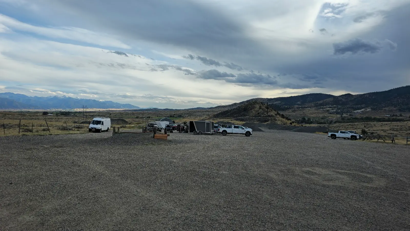
Pipestone OHV Area is a 30,000-acre BLM travel management area in Silver Bow County, approximately 15 miles east of Butte, Montana, accessed via I-90 Exit 241 and the Pipestone area roads. The area offers approximately 75 miles of developed OHV riding trails through a landscape shaped by both natural geology and historical mining: hard-rock mining in the Butte area produced tailings, bench cuts, and altered drainage patterns now partially revegetated and woven into the trail network. Trail terrain includes rolling hills, rocky two-track roads through mixed conifer and shrubland, and a dedicated hill climb area with constructed jump terrain that draws competitive and freestyle riders from across the region. Difficulty ranges from beginner-accessible wide gravel roads to advanced technical routes on steeper terrain with loose surface conditions. ATVs, UTVs, motorcycles, and 4x4 vehicles are all permitted; no entry fee. Camping is available at the Four Corners Trailhead within the riding area. The Butte area's copper-mining legacy gives the surrounding landscape an unusual visual character: reddened soils, historic mine structures, and reclaimed areas mix with natural sage and pine terrain. Contact the BLM Butte Field Office (406-533-7600) for current conditions and trail maps.

Gallery

Park details

Vehicle Types
ATV, Dirt Bike, SxS / UTV, 4x4 / Jeep
Access
Public land

Rider reviews

4.6on Google, 30 reviews
Read the reviews on Google Maps

Rating from Google.

Around here

Around Pipestone OHV Area

2 mi

Data Source: Recreation.gov · Source: USGS GNIS · Public land: USGS PAD-US · Forest roads: USDA Forest Service MVUM · BLM routes and areas: Bureau of Land Management (simplified for web display)

Current conditions

Today · Fri

95Go/ 100

CloudyHigh 55°F, low 32°FRain 1%Wind 9 kt, gusts 15

Forecast from Open-Meteo global models (NOAA & ECMWF).