Skip to content
Hot Springs, Oklahoma

Ouachita National Forest ATV Trail

Riding AreaATVDirt BikeSxS / UTV
Visit website

About

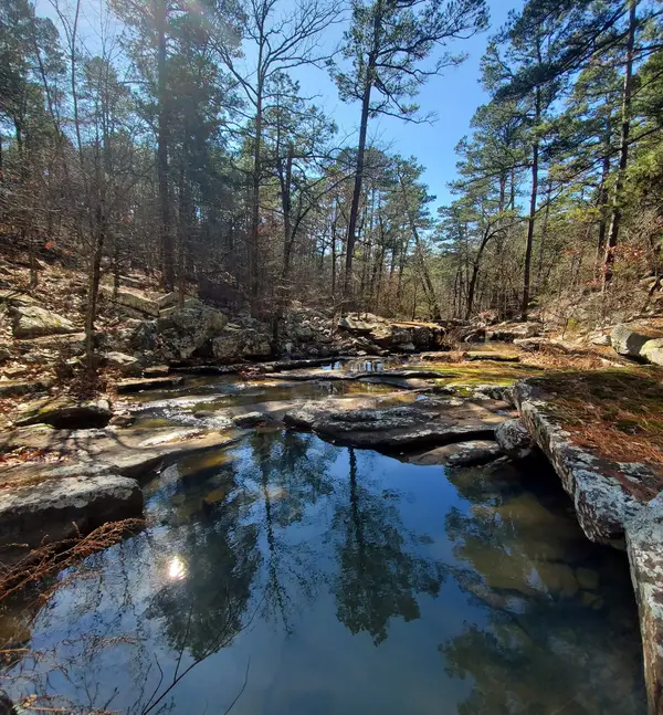
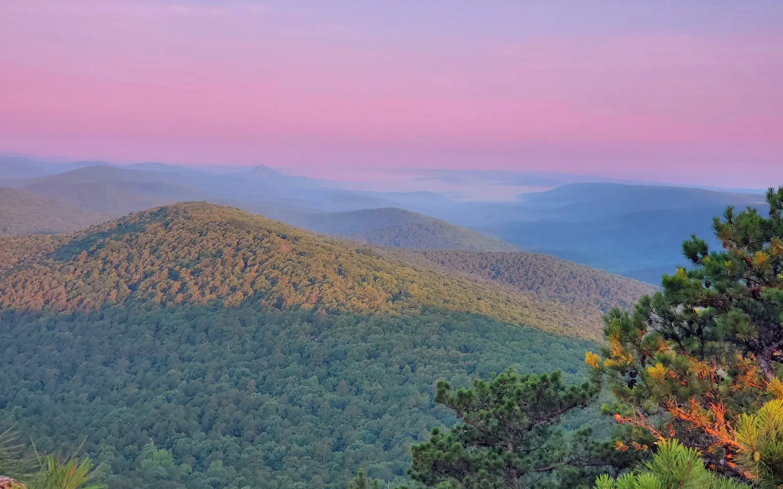
The Ouachita National Forest ATV Trail system in the Choctaw Ranger District occupies the Kiamichi Mountains of southeastern Oklahoma near Big Cedar, the wildest and most topographically rugged corner of Oklahoma, where the Ouachita Range pushes north into the state from Arkansas in a series of parallel sandstone ridges and shale valleys that are unlike anything in the flat-plains interior of the state. The system runs within the Winding Stair Mountain National Recreation Area corridor, which encompasses some of the most heavily forested public land in Oklahoma and provides the mixed pine-hardwood terrain that gives Ouachita riding its distinctive southern mountain character: shortleaf pine and oak-hickory forest on the ridge faces, bottomland hardwood and cedar along the creek drainages, and the sandstone outcroppings that define the Ouachita Range at every elevation. Trail routes wind through this terrain and cross the creek drainages that form the headwaters of the Mountain Fork, Kiamichi, and Glover rivers, streams that carve the steep V-shaped valleys characteristic of the folded Ouachita geology. ATVs, UTVs, and motorcycles are permitted on designated routes. No day-use fee; Oklahoma does not require OHV registration for national forest use. Wet weather frequently causes temporary closures on sections of the system, always call the Choctaw Ranger District in Heavener before making a trip (918-653-2991). Daylight hours year-round on open routes.

Gallery

Park details

Vehicle Types
ATV, Dirt Bike, SxS / UTV
Access
Public land

Trails at this park

Loads the full map of the trails at this listing. We leave it off by default so the page opens fast on mobile data.

Browse all trails

Current conditions

87Go/ 100 conditions scoreBest day: Wed, Sep 23 (93)

High today

93°F

Wind

8 kt

Gusts 13 kt

Rain chance

7%

Week ahead

Tue93°F7%
Wed91°F2%
Thu91°F0%
Fri95°F0%
Sat94°F4%
Sun94°F12%
Mon84°F18%

Forecast from Open-Meteo global models (NOAA & ECMWF).

Free tools

Your free outdoor toolkit

In your pocket

Take every trail with you.

Free, no account needed. Trail maps, live GPS ride recording that survives a dead zone, and every park in your pocket.

  • Every park and trail system in your pocket

  • Record every ride with GPS. Hands-free

  • File a ride plan and ETA. The app flags you overdue

  • GPS tracking that keeps recording past the last bar of signal

The Off Road Hubs app dashboard

For operators

Run an off-road business?
Get on the map for free.

Claim your free listing for a branded page and a spot in the Off Road Hubs app, then add bookings and digital waivers whenever you’re ready. No setup cost.