Skip to content
Mosquito Pass
Colorado

Mosquito Pass

Riding AreaSxS / UTV4x4 / JeepTruck
Visit websiteCall

About

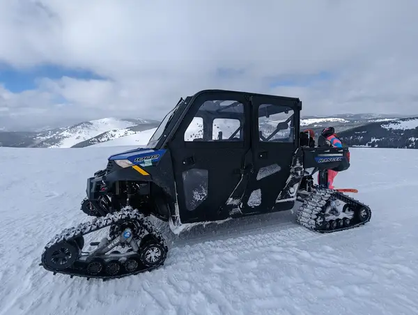
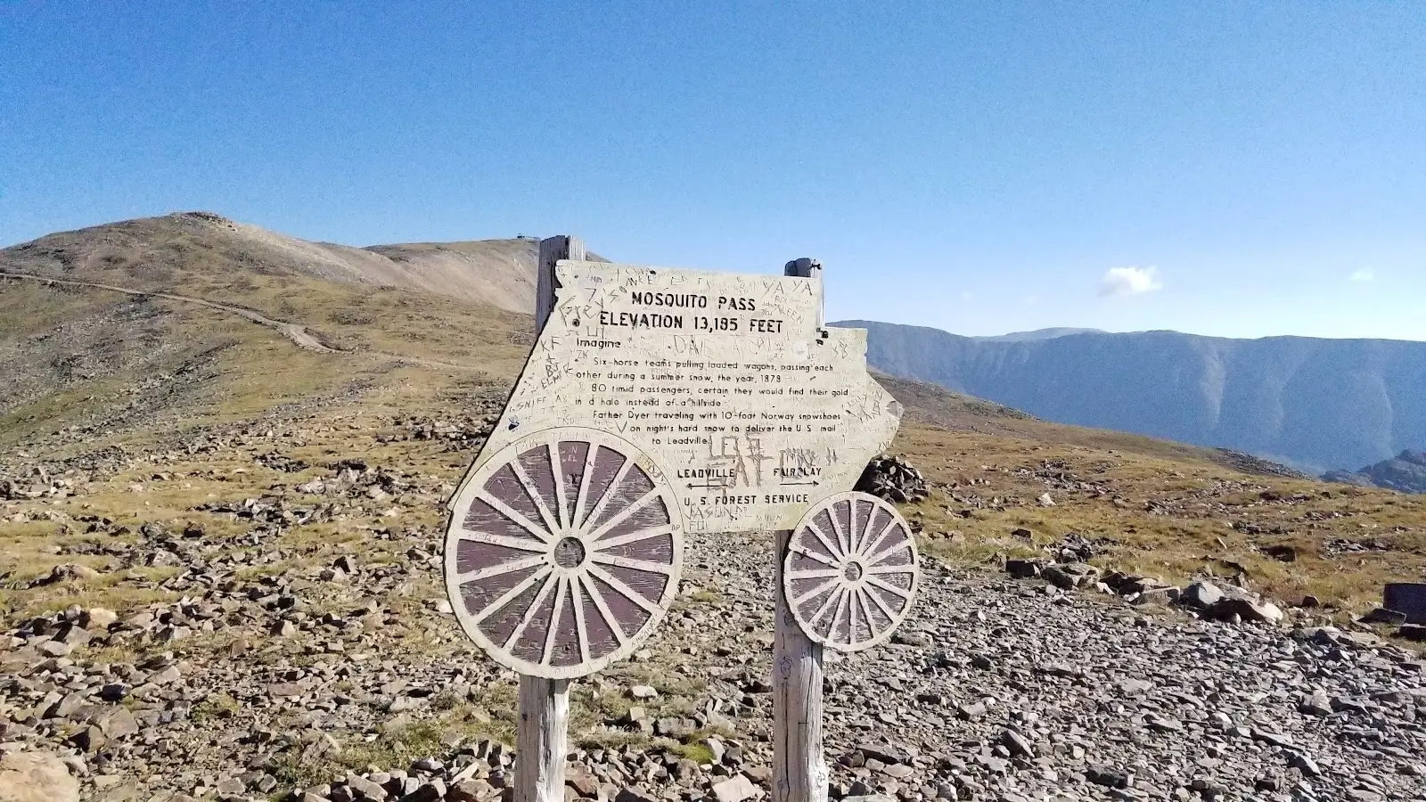
Mosquito Pass is a 13,187-foot mining-era road crossing the Mosquito Range between Leadville in Lake County and Alma in Park County, the highest continuously drivable pass in North America and one of the most famous high-altitude 4WD routes in the Rocky Mountains. The pass was originally constructed in 1879 as a mining road connecting the silver mining boomtowns of Leadville with the Fairplay and South Park gold districts, and the road today follows the same narrow shelf-road corridor that wagon teams and ore carts used at the height of the Colorado silver rush. At 13,187 feet, Mosquito Pass sits above treeline in the exposed alpine tundra zone where the brief summer growing season produces the characteristic miniature alpine flora of the Colorado high country and where snow can remain in the shaded gullies through mid-summer in heavy years. The driving character is pure high-altitude mining road: narrow shelf road cut into the mountainside with minimal turnout opportunities, exposed rocky surface with significant washboard and loose rock, consistent grade climbing from Leadville at 10,152 feet to the pass summit at 13,187 feet, and the very real altitude effects on naturally-aspirated engines that can lose 30% or more of their sea-level power output. Full-size 4x4 Jeeps, trucks, and UTVs with adequate clearance make up the typical user mix. The accessibility window is short, typically July through early September, and altitude sickness is a genuine concern for riders not acclimated to elevations above 10,000 feet. The Pike-San Isabel National Forest Leadville Ranger District (719-486-0749) manages current pass status and road conditions.

Gallery

Park details

Vehicle Types
SxS / UTV, 4x4 / Jeep, Truck
Access
Public land

Rider reviews

4.9on Google, 58 reviews
Read the reviews on Google Maps

Rating from Google.

Around here

Around Mosquito Pass

Mosquito Peaks1.4 mi2 mi

Data Source: Recreation.gov · Source: USDA Forest Service · Source: USGS GNIS · Public land: USGS PAD-US · Forest roads: USDA Forest Service MVUM · BLM routes and areas: Bureau of Land Management (simplified for web display)

Current conditions

Today · Fri

83Go/ 100

CloudyHigh 34°F, low 23°FRain 5%Wind 6 kt, gusts 7

Forecast from Open-Meteo global models (NOAA & ECMWF).