Dunmore, Pennsylvania
Lost Trails
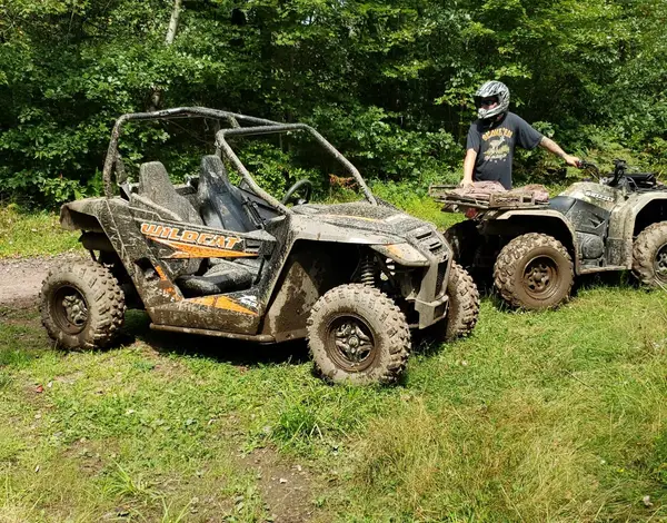
Riding AreaATVDirt BikeSxS / UTV
About
Gallery
Park details
- Vehicle Types
- ATV, Dirt Bike, SxS / UTV
- Access
- Privately operated
Rider reviews
4.5on Google, 772 reviews
Read the reviews on Google MapsRating from Google.
Around here
Around Lost Trails
6 trails covering 8.2 miles.
Loading map…
- Ore Mine Roadmoderate · Mixed · 3.1 mi · Motorcycle, ATV, 4WD
- Stone Roadmoderate · Mixed · 2.9 mi
- Carvolth Roaddifficult · Mixed · 0.79 mi · Motorcycle, ATV, 4WD
- Sassafrass Hill Roadmoderate · Mixed · 0.76 mi · Motorcycle, ATV, 4WD
- Historic Camp Trail (15 mph)easy · Gravel · 0.51 mi · Motorcycle, ATV, 4WD
- Pine Hill Roadmoderate · Gravel · 0.15 mi · Motorcycle, ATV, 4WD
- Steamtown National Historic SiteRecreation area3.7 mi (opens in a new tab)
- Visitor Center and Park StoreVisitor center3.8 mi (opens in a new tab)
- Aylesworth Creek LakeRecreation area8 mi (opens in a new tab)
- Prompton LakeRecreation area18.3 mi (opens in a new tab)
- Francis E. Walter DamRecreation area22.3 mi (opens in a new tab)
Data Source: Recreation.gov · Source: USGS GNIS · Public land: USGS PAD-US · Forest roads: USDA Forest Service MVUM · BLM routes and areas: Bureau of Land Management (simplified for web display)
Current conditions
Today · Tue
95Go/ 100
CloudyHigh 59°F, low 42°FRain 1%Wind 12 kt, gusts 23
Air quality
31 Good
Scranton monitor, 3 km
Forecast from Open-Meteo global models (NOAA & ECMWF). Air quality: Pennsylvania Dept. of Environmental Protection via EPA AirNow. Preliminary data, not verified.
More off-road parks in Pennsylvania
Also nearby
Other ways to get outside within about an hour of here.
Free tools