Skip to content
Lincoln NF Sacramento Mountains OHV
Cloudcroft, New Mexico

Lincoln NF Sacramento Mountains OHV

Riding AreaATVDirt BikeSxS / UTV
Visit websiteCall

About

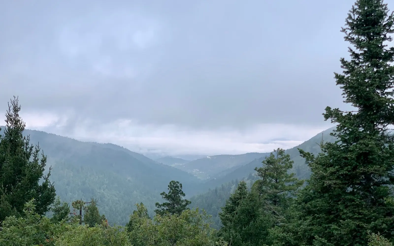
The Lincoln National Forest encompasses 1.1 million acres of the Sacramento, Guadalupe, and Capitan mountains in south-central New Mexico, three distinct mountain ranges rising as sky island forests above the surrounding Chihuahuan Desert, with the Sacramento Mountains forming the primary OHV riding zone around the resort community of Cloudcroft in Otero County. The Sacramento Mountains are one of the most dramatic landscape transitions in the American Southwest: riders can begin at White Sands National Park or Alamogordo (4,335 feet, Chihuahuan Desert) and within 30 miles reach the Cloudcroft area at 8,650 feet, where ponderosa pine and mixed-conifer forest replaces the desert scrub in an elevation gain that mirrors the latitudinal vegetation change from Arizona to Colorado. The Sacramento Mountain OHV trail system threads through the Lincoln NF on the slopes and ridges of the Sacramentos, with the Cloudcroft and Mayhill ranger areas serving as the primary access communities. Trail character is high-elevation southern Rocky Mountain forest: ponderosa pine open park country at 7,000 to 8,000 feet, mixed-conifer and Douglas fir at 8,000 to 9,000 feet, and the spruce-fir summit forests above 9,000 feet that cap the highest Sacramento peaks. The Lincoln NF also provides OHV access to the Guadalupe Mountains district near Carlsbad Caverns, a completely distinct desert canyon riding environment from the Sacramento highlands. ATVs, UTVs, and off-highway motorcycles are permitted on designated routes. New Mexico OHV registration required. The Cloudcroft Ranger District office (575-434-7200) manages Sacramento Mountain OHV trail status.

Gallery

Park details

Vehicle Types
ATV, Dirt Bike, SxS / UTV
Access
Public land

Rider reviews

4.8on Google, 117 reviews
Read the reviews on Google Maps

Rating from Google.

Around here

Around Lincoln NF Sacramento Mountains OHV

Deerhead Campground0.5 miSleepy Grass0.9 mi5 mi

Data Source: Recreation.gov · Source: USGS GNIS · Public land: USGS PAD-US · Forest roads: USDA Forest Service MVUM · BLM routes and areas: Bureau of Land Management (simplified for web display)

Current conditions

Today · Sat

64Maybe/ 100

45% chance of rain · High 36°F

CloudyHigh 36°F, low 33°FRain 45%Wind 13 kt, gusts 21

Forecast from Open-Meteo global models (NOAA & ECMWF).