Skip to content
Minnesota

Land O' Lakes State Forest OHV Trails

Riding AreaATVDirt BikeSxS / UTV
Visit website

About

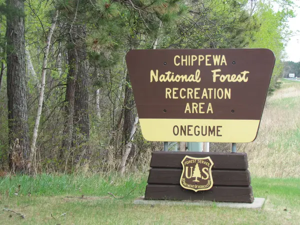
Land O' Lakes State Forest is a Minnesota DNR-managed state forest encompassing approximately 47,000 acres in Cass, Itasca, and Crow Wing counties in north-central Minnesota, the transition zone between the central Minnesota lake country and the deeper boreal forest country of the northern state border. The forest OHV trail system covers approximately 50 miles of designated routes on existing forest roads and purpose-built corridors through the classic north-central Minnesota landscape: mixed northern hardwood and boreal forest of red pine, white pine, balsam fir, paper birch, and aspen; the kettle lake and esker topography produced by the Laurentide Ice Sheet's retreat; and the numerous small lakes and wetlands that give the Land O' Lakes district its name and ecological character. The trail character is moderate in scale and technical difficulty, beginner and intermediate riders find the terrain accessible, while the tighter single-track corridors and the wetland edges provide meaningful riding for more experienced users. The forest is adjacent to the Chippewa National Forest's OHV network to the east, allowing riders with extended-stay itineraries to combine the two systems and access the combined 1,500-plus-mile trail network that defines the north-central Minnesota riding region. ATVs, UTVs, and off-highway motorcycles are permitted on designated trails. Minnesota OHV registration is required. DNR Deer River Area office (218-246-8341) handles current trail conditions and seasonal access.

Park details

Vehicle Types
ATV, Dirt Bike, SxS / UTV
Access
Public land

Trails at this park

Loads the full map of the trails at this listing. We leave it off by default so the page opens fast on mobile data.

Browse all trails

Current conditions

97Go/ 100 conditions score

High today

63°F

Wind

9 kt

Gusts 18 kt

Rain chance

0%

Week ahead

Tue63°F0%
Wed62°F25%
Thu60°F83%
Fri70°F17%
Sat60°F47%
Sun68°F38%
Mon72°F42%

Forecast from Open-Meteo global models (NOAA & ECMWF).

Free tools

Your free outdoor toolkit

In your pocket

Take every trail with you.

Free, no account needed. Trail maps, live GPS ride recording that survives a dead zone, and every park in your pocket.

  • Every park and trail system in your pocket

  • Record every ride with GPS. Hands-free

  • File a ride plan and ETA. The app flags you overdue

  • GPS tracking that keeps recording past the last bar of signal

The Off Road Hubs app dashboard

For operators

Run an off-road business?
Get on the map for free.

Claim your free listing for a branded page and a spot in the Off Road Hubs app, then add bookings and digital waivers whenever you’re ready. No setup cost.