Skip to content
Missouri

Kaintuck OHV Area

Riding AreaATVDirt BikeSxS / UTV
Visit websiteCall

About

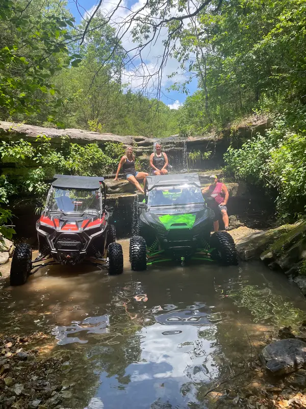
The Kaintuck OHV Area is a Mark Twain National Forest off-highway vehicle trail system in the Ava/Cassville Ranger District of Douglas County in the deep southern Missouri Ozarks: a riding destination in the heart of the Ozark highlands between the White River corridor to the south and the upper Gasconade country to the north, serving the Ava, Mountain Grove, and West Plains OHV markets in one of Missouri's least densely populated regions. Kaintuck Hollow gives the area its name, an Ozark place name derived from early settlers' pronunciation of 'Kentucky,' a linguistic fossil from the Tennessee and Kentucky migrants who settled the Missouri Ozarks in the early 19th century and whose cultural imprint persists in the Ozark highlands community character. The Kaintuck OHV trail system operates in the Douglas County national forest blocks on designated routes through the shortleaf pine and upland oak forest that covers the dissected plateau terrain above the Ozark hollows. Douglas County is among the most classically Ozark counties in Missouri: the plateau surfaces are broken by the tributary hollows of the North Fork of the White River, the Bryant Creek, and the Spring River headwaters, producing the creek-to-ridge topography that gives Kaintuck its trail character, rocky ridge-top routes under open pine and scarlet oak alternating with hollow-bottom crossings on clear-water Ozark streams. The deep southern Missouri Ozarks in Douglas County receive slightly more rainfall than the drier northern plateau, and the forest transitions toward the more mesic upland oak-hickory associations that characterize the Ozark highlands at their southern margin before the landscape drops into the White River hills. Mark Twain NF permit required. Ava/Cassville Ranger District at Ava (417-683-4428) manages current Kaintuck OHV trail access.

Park details

Vehicle Types
ATV, Dirt Bike, SxS / UTV
Access
Public land

Around here

Around Kaintuck OHV Area

Wolf Junction (GTT Stop 7)15.9 miTheodosia Park22.6 mi5 mi

Source: USDA Forest Service · Data Source: Recreation.gov · Source: USGS GNIS · Public land: USGS PAD-US · Forest roads: USDA Forest Service MVUM · BLM routes and areas: Bureau of Land Management (simplified for web display)

Current conditions

Today · Fri

95Go/ 100

CloudyHigh 53°F, low 43°FRain 1%Wind 9 kt, gusts 22

Forecast from Open-Meteo global models (NOAA & ECMWF).