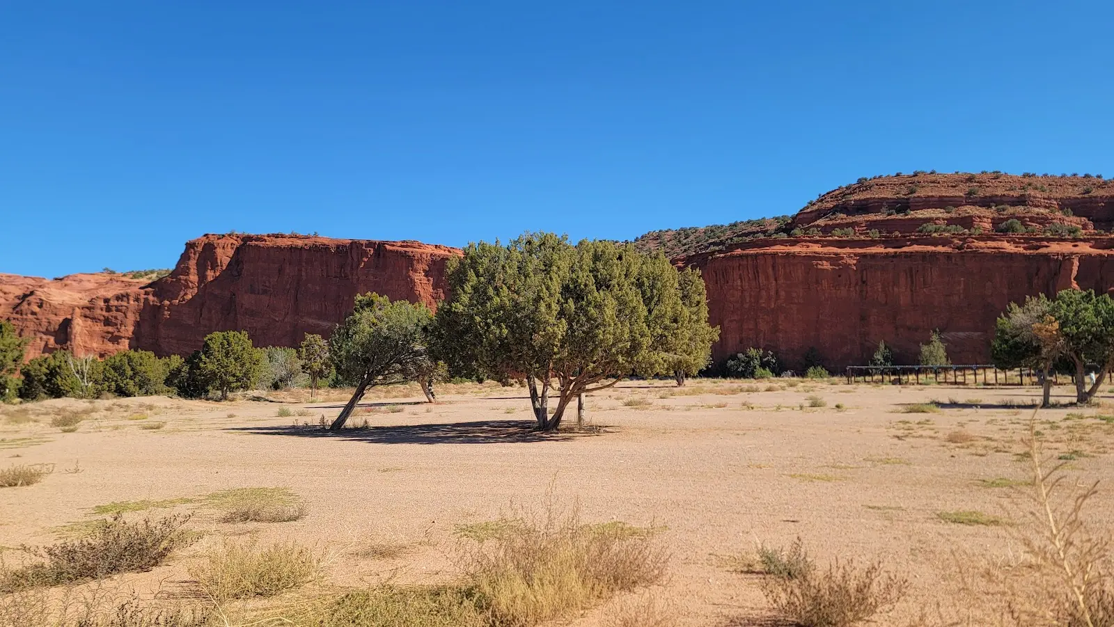
Jemez Springs, New Mexico
Jemez Mountains OHV Trails
Riding AreaATVDirt BikeSxS / UTV
About
Gallery
Park details
- Vehicle Types
- ATV, Dirt Bike, SxS / UTV
- Access
- Public land
Rider reviews
4.8on Google, 19 reviews
Read the reviews on Google MapsRating from Google.
Around here
Around Jemez Mountains OHV Trails
Loading map…
- Jemez Falls CampgroundCampground · 51 sites2.7 mi (opens in a new tab)
- Redondo CampgroundCampground · 62 sites4.4 mi (opens in a new tab)
- San Antonio CampgroundCampground · 30 sites6 mi (opens in a new tab)
- PalizaCampground · 41 sites6.8 mi (opens in a new tab)
- Vista Linda CampgroundCampground · 13 sites7.1 mi (opens in a new tab)
- Paliza Group CampgroundGroup camp · 2 sites7.2 mi (opens in a new tab)
- Volcano Discovery CenterVisitor center8.6 mi (opens in a new tab)
- Valles Caldera National PreserveRecreation area10.9 mi (opens in a new tab)
- Kasha-Katuwe Tent Rocks National MonumentRecreation area16.1 mi (opens in a new tab)
- Bandelier National MonumentRecreation area17.9 mi (opens in a new tab)
- Perea Nature TrailRecreation area19.1 mi (opens in a new tab)
- San Ysidro Trials AreaRecreation area19.1 mi (opens in a new tab)
- Take a Self-Guided Auto Tour of Valles CalderaSelf-Guided Tours - Auto · 3-4 Hours9.4 mi (opens in a new tab)
- Take the Self-Guided Hemish Connections Audio TourSelf-Guided Tours - Auto · 2-3 Hours9.4 mi (opens in a new tab)
- Take a Scenic Drive through Valle GrandeScenic Driving · 30-90 Minutes9.4 mi (opens in a new tab)
- Bike the Redondo Foothills LoopMountain Biking · 2-3 Hours9.5 mi (opens in a new tab)
- Bike the Alamo Canyon to Valle Seco LassoMountain Biking · 4-6 Hours10.6 mi (opens in a new tab)
Data Source: Recreation.gov · Source: USGS GNIS · Source: National Park Service. No claim to original U.S. Government works. · Public land: USGS PAD-US · Forest roads: USDA Forest Service MVUM · BLM routes and areas: Bureau of Land Management (simplified for web display)
Current conditions
Today · Fri
86Go/ 100
CloudyHigh 48°F, low 33°FRain 27%Wind 8 kt, gusts 22
Air quality
26 Good
Coyote Ranger District monitor, 43 km
Forecast from Open-Meteo global models (NOAA & ECMWF). Air quality: New Mexico Air Quality Bureau via EPA AirNow. Preliminary data, not verified.
More off-road parks in New Mexico

Also nearby
Other ways to get outside within about an hour of here.

Free tools






