Skip to content
Bedford, Indiana

Hoosier National Forest OHV

Riding AreaATVDirt BikeSxS / UTV
Visit website

About

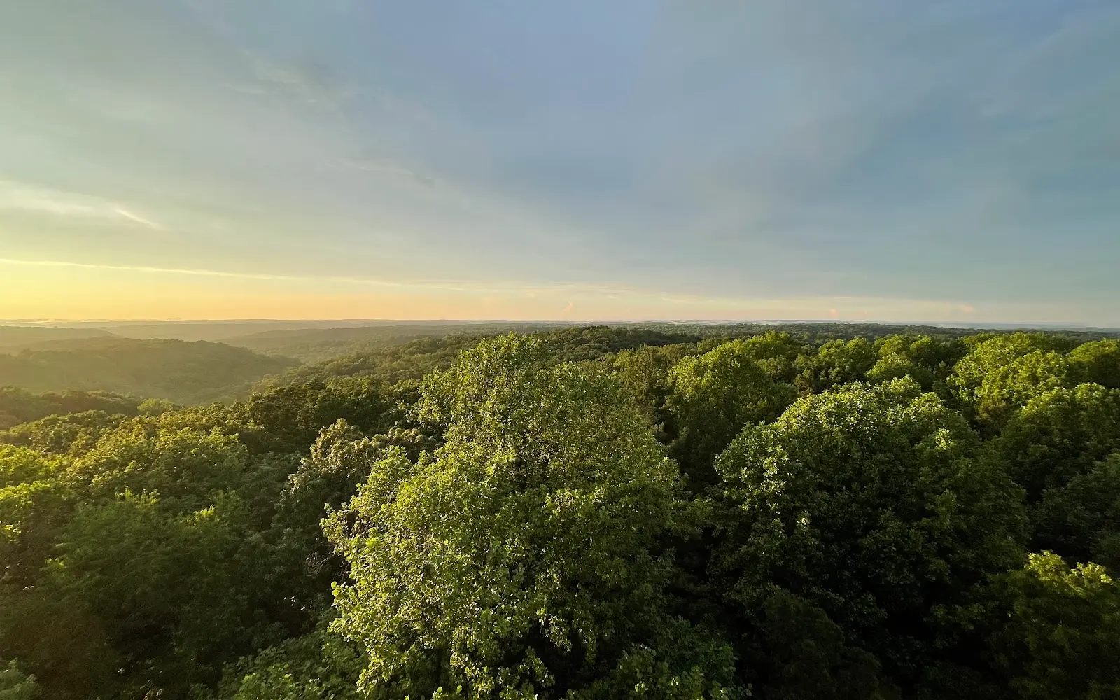
The Hoosier National Forest encompasses 204,000 acres of the Indiana Uplands in Lawrence, Monroe, Brown, Jackson, Martin, Orange, Crawford, and Perry counties in south-central Indiana: the only national forest in Indiana, occupying the hill country of the Crawford Upland and the Mitchell Karst Plain where the flat Corn Belt of central Indiana gives way to the rugged, forested limestone hill terrain of the unglaciated southern edge of the state. The OHV trail system operates on designated routes in the Tell City and Brownstown Ranger Districts, threading through the sandstone and limestone ridge terrain above the White River and the Ohio River tributaries in a landscape that is more Appalachian in character than anything else in Indiana. The Hoosier's location in the state's most rugged terrain, the same unglaciated hill country that creates the Brown County hills made famous by the Nashville IN art colony, gives the OHV network a topographic interest rare in the flat Midwest: steep sandstone ridges, hollow crossings on clear-water limestone creeks, and the cedar glades and chert-covered upland forest of the Crawford Upland. The Tell City district in the south occupies the Ohio River hill country of Perry County, where the forest extends to the river bluffs; the Brownstown district in the north serves the Bedford, Bloomington, and Columbus markets on the northern edge of the hill terrain. The Hoosier is the closest public-land OHV option for the Indianapolis metropolitan area (1.5 hours north) and the Louisville metropolitan area (1.5 hours south), two large urban markets with limited nearby public OHV terrain. Brownstown Ranger District at Bedford (812-275-5987) manages current OHV trail conditions.

Gallery

Park details

Vehicle Types
ATV, Dirt Bike, SxS / UTV
Access
Public land

Trails at this park

Loads the full map of the trails at this listing. We leave it off by default so the page opens fast on mobile data.

Browse all trails

Current conditions

97Go/ 100 conditions score

High today

66°F

Wind

10 kt

Gusts 18 kt

Rain chance

2%

Week ahead

Tue66°F2%
Wed66°F5%
Thu76°F1%
Fri78°F0%
Sat71°F1%
Sun71°F1%
Mon62°F3%

Forecast from Open-Meteo global models (NOAA & ECMWF).

Free tools

Your free outdoor toolkit

In your pocket

Take every trail with you.

Free, no account needed. Trail maps, live GPS ride recording that survives a dead zone, and every park in your pocket.

  • Every park and trail system in your pocket

  • Record every ride with GPS. Hands-free

  • File a ride plan and ETA. The app flags you overdue

  • GPS tracking that keeps recording past the last bar of signal

The Off Road Hubs app dashboard

For operators

Run an off-road business?
Get on the map for free.

Claim your free listing for a branded page and a spot in the Off Road Hubs app, then add bookings and digital waivers whenever you’re ready. No setup cost.