Big River Management Area
About
Gallery
Park details
- Vehicle Types
- dirt-bike, ATV
- Access
- Public land
- Trail Miles
- 40 miles
Trails at this park
Loads the full map of the trails at this listing. We leave it off by default so the page opens fast on mobile data.
- Burnt Sawmill Roadmoderatemixed1.6 mi
- New London Turnpikedifficultmixed1.3 mi
- New London Turnpikemoderatemixed1.3 mi
- Dear Knoll - Archiemoderatemixed1.2 mi
- Sweet Sawmill Roadmoderatemixed1.1 mi
- Barbiemoderatemixed1.1 mi
- Sweet Sawmill Roadmoderatemixed1.1 mi
- Alan's Avenuemoderatemixed0.99 mi
- Sawmill Trailmoderatemixed0.86 mi
- I See Dead Peoplemoderatemixed0.84 mi
- Karl & Jons Excellant Adventuremoderatemixed0.81 mi
- Alan's Avenuemoderatemixed0.77 mi
Rider reviews
What riders are saying
- AAli B-Raposo· a year ago
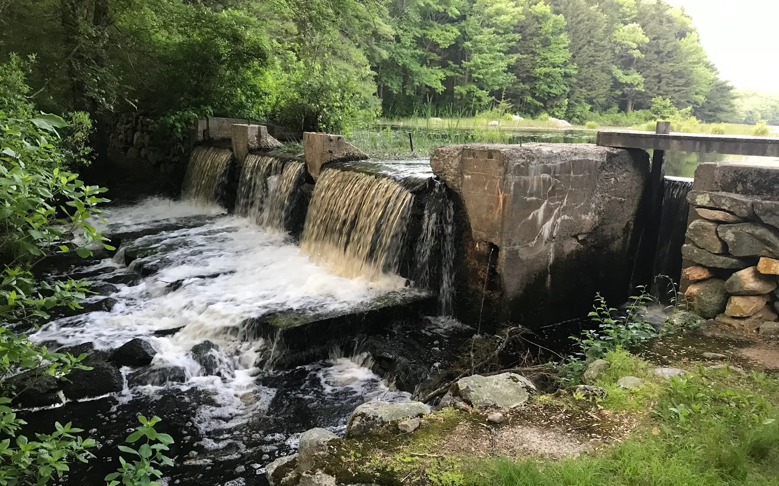
The entrance had a huge circular puddle. Not knowing how deep it was, we walked around it to the water fall area. The path is not smooth. If it was paved, it would be loaded with pot holes. Need to be careful of footing. Even with the uneven path, its a peaceful walk.
- PPaddy McCourdy· 5 months ago
The rivers big but the trees are bigger. Request a table with a view and get the seared tomohawk if you want something uniquely local. I'd take my gay son here if only he hadn't joined up with a dancing troupe in San Francisco. I still gotta make it out there to see him, he makes me so proud.
- WW. Antonio Divison· 8 years ago
It is an amazing place to hike and be close to the Nature, I spent there 5 hours just walking around this summer, Im planning to come back!
- JJenna Deslaurier· 6 years ago
Great place to walk your dog and explore! There are lots of trails so it feels pretty secluded even if the parking lot looks full. We spent about an hour here but if you wanted to try multiple trails you could probably do longer
Reviews powered by Google. Content belongs to its respective authors.
Current conditions
High today
62°F
Wind
11 kt
Gusts 22 kt
Rain chance
7%
Week ahead
Forecast from Open-Meteo global models (NOAA & ECMWF).
More off-road parks in Rhode Island
Also nearby
Other ways to get outside within about an hour of here.


Free tools
Your free outdoor toolkit

Everything Map
Listings, trails, spots, clubs and public land on a single full-screen map. Switch layers on and off, then tap any point for the details.
Open Everything MapTrail Explorer
Browse a community map of named trails with distance, difficulty, and where each one starts.
Open Trail ExplorerRoute Planner
Drop stops on a map and watch distance and drive time add up. Export a GPX or share the link.
Open Route PlannerOff-Road Clubs
Browse local clubs with meeting info and how to join, or start your own for free.
Open Off-Road ClubsLive Conditions
Real-time conditions spot by spot, pulled from public weather feeds, before you commit to the drive.
Open Live ConditionsWebcams
Live camera feeds from popular spots. Eyeball the crowd, the surf, or the snow before you go.
Open Webcams



