Skip to content
Missouri

Berryman Trail OHV Area

Riding AreaATVDirt BikeSxS / UTV
Visit website

About

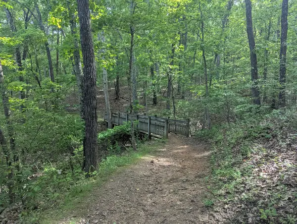
The Berryman Trail OHV Area is one of the most celebrated off-highway vehicle and mountain bike trail systems in the Mark Twain National Forest, located in the St. Francois Ranger District in Washington County at the heart of Missouri's St. Francois Mountains: the oldest exposed rocks in Missouri, Precambrian granite and rhyolite knobs rising above the surrounding Ozark Plateau in a cluster of rocky, forested hills that geologists call the Missouri Rhineland for the granitic outcrops that give the landscape its European character. The Berryman Trail itself is a 24-mile loop trail originally built for equestrian and foot travel and now designated for OHV use, threading through the St. Francois Mountain terrain between Berryman and Brazil Creek campgrounds on a route that has become a benchmark Ozark trail destination, the granite and rhyolite substrate producing the rocky, rooted trail character that distinguishes St. Francois Mountain riding from the chert and dolomite terrain of the Springfield Plateau to the west. The St. Francois Mountains are geologically ancient and topographically distinct from the rest of the Missouri Ozarks: the Precambrian igneous cores of the mountains are exposed as the resistant summits of Buford Mountain, Taum Sauk Mountain (the highest point in Missouri at 1,772 feet), Proffit Mountain, and the rounded knobs of the Shut-Ins country where the Black River cuts through the igneous rock in the shut-in gorges that define Missouri's most dramatic river scenery. ATVs, UTVs, dirt bikes, and mountain bikes on designated routes; Mark Twain NF permit required. Potosi/Fredericktown Ranger District (573-438-5427) manages trail conditions and the Berryman OHV permit system.

Park details

Vehicle Types
ATV, Dirt Bike, SxS / UTV
Access
Public land

Trails at this park

Loads the full map of the trails at this listing. We leave it off by default so the page opens fast on mobile data.

Browse all trails

Current conditions

93Go/ 100 conditions scoreBest day: Wed, Sep 23 (97)

High today

71°F

Wind

10 kt

Gusts 18 kt

Rain chance

18%

Week ahead

Tue71°F18%
Wed71°F1%
Thu78°F4%
Fri81°F1%
Sat82°F9%
Sun69°F15%
Mon77°F13%

Forecast from Open-Meteo global models (NOAA & ECMWF).

Free tools

Your free outdoor toolkit

In your pocket

Take every trail with you.

Free, no account needed. Trail maps, live GPS ride recording that survives a dead zone, and every park in your pocket.

  • Every park and trail system in your pocket

  • Record every ride with GPS. Hands-free

  • File a ride plan and ETA. The app flags you overdue

  • GPS tracking that keeps recording past the last bar of signal

The Off Road Hubs app dashboard

For operators

Run an off-road business?
Get on the map for free.

Claim your free listing for a branded page and a spot in the Off Road Hubs app, then add bookings and digital waivers whenever you’re ready. No setup cost.